Disclosure : This site contains affiliate links to products. We may receive a commission for purchases made through these links.
Bulgaria (with Street Plans of Black Sea Resorts)
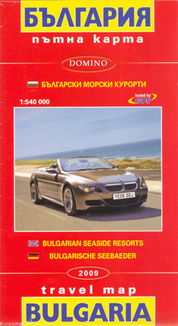
Bulgaria at 1:540,000 from Domino with on the reverse street plans of central Varna and Burgas, plus plans of other Black Sea resorts: Albena, Balchik, Golden Sands, Nesebar, Sozopol, St. Konstantin and Sunny Beach, The main map provides a clear picture of the country’s topography with bright altitude colouring enhanced by relief shading and spot heights. National parks and other protected areas are highlighted. Road network is divided into seven grades, with driving distances shown on all routes except dirt tracks. Border crossings and services on main roads are marked. The map also shows railway lines.Interesting towns and village are prominently highlighted, as are important cultural monuments and natural sites. Symbols indicate other places of interest including campsites, churches and monasteries, etc. Names of larger towns are given in both Latin alphabet and Cyrillic, smaller settlements and geographical features are only in Cyrillic. Latitude and longitude lines are drawn at intervals of 30’. The map is not indexed. Map legend includes English. Also provided is a distance table.On the reverse are street plans of central Varna, Burgas, Balchik, Nesebar and Sozopol with street names in Latin alphabet. The plans of Albena, Golden Sands, Sunny Beach and St. Konstantin show locations of tourist accommodation, restaurants and other facilities, all listed in an index (also provided for Nesebar). Names of all the establishments are shown in Latin alphabet and for each town or resort there are additional English language notes.

Related Products:
 Sunny Beach – Nesebar
 Bulgaria Cartographia Road Map
 Burgas and the Nearby Black Sea Resorts
 Bulgaria (with Mountain Resorts)
 Bulgaria – City Centres Domino Road Map
 Bulgaria Road Atlas
 Varna
Varna
 Sofia Street Atlas with Vitosha Massif
 Bulgaria (with Fishing Lakes)
 Bulgaria Domino DOUBLE-SIDED Road Map
 Middle East: Explorer Publishing Maps, Atlases and Street Plans
 Skopje Street Atlas
 Bulgarian and Romanian Coast
 New Zealand: Kiwimaps District Road Maps with Street Plans
 Albena, Kranevo and Balchik
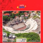
 Plovdiv
 Mexico: Ed. Independecia State Road Maps and Street Plans
 Karelia Karttakeskus Road Map
 Congo Cities Map (10 Street Plans)
 Irkutsk
 Stara Zagora
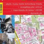 Lviv ExpressMap Street Plan
 Bulgaria Pocket Road Atlas
 Ruse
Ruse
 Afghanistan – Kabul & 5 Cities Street Plans Gizi Wall Map
 Netherlands/Belgium: Falk Citymap & More Pocket Street Plans
 Vitosha – Verila
 St. Petersburg Jana Seta Street Plan
 France: IGN Street Plans
Bulgaria (with Sites and Landmarks)
France: IGN Street Plans
Bulgaria (with Sites and Landmarks)
 Kaliningrad Street Plan
 Chalkidiki / Halkidiki – Thessaloniki Street Plan Terrain Editions 412
 London: Bensons MapGuides Street Plans and Atlases
 Cesky Krumlov and Prachatice Street Plans
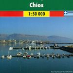 Chios F&B
 Larnaka Pocket Street Plan
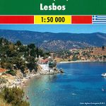 Lesbos F&B
 Limassol Pocket Street Plan