Disclosure : This site contains affiliate links to products. We may receive a commission for purchases made through these links.
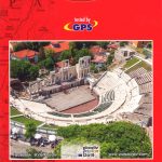
Bulgaria Cartographia Road Map
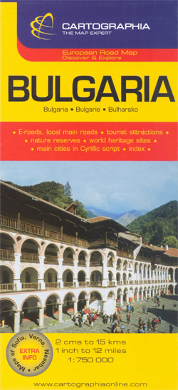
Bulgaria on an indexed road map at 1:750,000 from the Budapest based Cartographia highlighting the country’s picturesque locations. Additional street plans show central Sofia, Varna and Nesebar. All place names are in Latin alphabet, with names of main towns also given in Cyrillic script.The map clearly shows the country’s topography by relief shading, with plenty of names of mountain ranges and peaks. National parks are highlighted. Road network gives driving distances on main routes. Railway lines, local airports and coastal ferry routes are included. Picturesque locations are highlighted and symbols mark other places of interest and/or facilities, including camsites, mountain refuges, beaches, etc. Latitude and longitude lines are drawn at intervals of 1ยฐ. The index is on the reverse side. Map legend includes English.Also provided are large, clear street plans of central Sofia, Varna and Nesebar, indicating the cities’ main places of interest and selected tourist accommodation.


