Disclosure : This site contains affiliate links to products. We may receive a commission for purchases made through these links.
Brussels

Related Products:
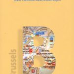
 Brussels Flexi Map
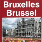
 Brussels Borch
 Brussels NGI Topographic Map 31
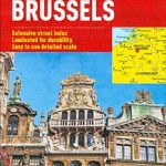
 Brussels Hike & Bike Map
 Brussels F&B City Pocket Map
 Brussels – Zaventem 20K NGI Belgium Survey Map No. 31/3-4
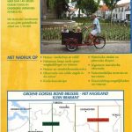
 Greater Brussels Hike & Bike Map
 Brussels Marco Polo City Map
 Flemish Brabant: Brussels – Leuven – Mechelen
 Brabant Provinces (Flemish and Wallon) and Brussels Region
 Brussels PopOut
 Brussels Noir
 Secret Brussels
 Brussels Michelin Citymap
 Fodor`s Brussels & Bruges 25 Best
 Brussels City Puzzle Magnets
 Brussels Art Nouveau: Architecture & Design
 Brussels` Kitchen: The Best Places to Eat Out in Style
 Brussels & Bruges AA CityPack Guide
 Berlitz Pocket Guide Brussels
 Insight Guides Pocket Brussels
 Time Out Brussels City Guide
 Brussels – A Cultural & Literary History
 Brussels Art Nouveau: Walks in the Center
 111 Places in Brussels That You Shouldn`t Miss
 Brussels Marco Polo Guide
 DK Eyewitness Top 10 Brussels, Bruges, Antwerp and Ghent
 Frommer`s EasyGuide to Amsterdam, Brussels and Bruges
 Lonely Planet Pocket Bruges & Brussels
 The Monocle Travel Guide to Brussels + Antwerp
Antwerp – Brussels ANWB Cycling Junction Map 25
The Monocle Travel Guide to Brussels + Antwerp
Antwerp – Brussels ANWB Cycling Junction Map 25
 DK Eyewitness Travel Guide Brussels, Bruges, Ghent & Antwerp
 Rick Steves Belgium: Bruges, Brussels, Antwerp & Ghent
 Northern Belgium: Flanders with Brussels, Bruges, Ghent and Antwerp