Disclosure : This site contains affiliate links to products. We may receive a commission for purchases made through these links.
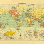
British Empire 1905
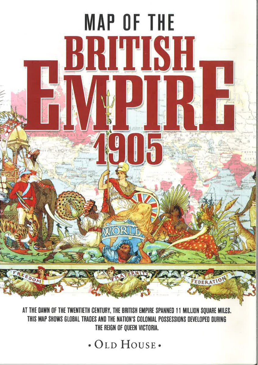
British Empire in 1905 on a reproduction by Old House Books of a map originally published as part of The Historical and Modern Atlas of the British Empire, with panels presenting the growth of the Empire between 1603 and 1837.Colouring distinguishes between ‘British possessions” and ‘spheres of influence”, the latter shown as Egypt, present day Oman and the United Arab Emirates, the northern islands of Canada, and the Antarctic Peninsula. On land masses many areas are annotated with their principal exports (coffee, rum, furs, etc). The map also shows main shipping routes. Four panels under the map show the Empire in 1603, 1713, 1763 and 1837. The map in presented in an elegant card envelope which includes notes on The Historical and Modern Atlas of the British Empire, the Empire itself around the time of its publication, etc.

Related Products:
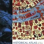 The Penguin Historical Atlas of the British Empire
 British Empire c.1895 SMALL
 British Empire c.1895 MEDIUM
 Insurgent Empire: Anticolonial Resistance and British Dissent
 Routledge Atlas of British History
 The Decline and Fall of the British Empire
 Inglorious Empire: What the British Did to India
 Metro-Land: British Empire Exhibition Number
 Mapping an Empire: The Geographical Construction of British India 1765-1843
 The Rise & Fall of the British Empire
 Legacy of Violence: A History of the British Empire
 The British Empire
 Empire – What Ruling the World did for the British
 Slave Empire: How Slavery Built Modern Britain
 The Grand Tour: Letters and Photographs from the British Empire Expedition 1922
 Ottoman Empire
 Churchill and Empire: Portrait of an Imperialist
 In Search of a Kingdom: Francis Drake, Elizabeth I, and the Perilous Birth of the British Empire
 A Thirst for Empire: How Tea Shaped the Modern World
 Atlas: A World of Maps from the The British Library
 Stones of Empire
 The Hungry Empire: How Britain`s Quest for Food Shaped the Modern World
 Hitler`s Empire
 Ghosts of Empire
 The Roman Empire
 Empire of the Deep
 British Railways Pre-Grouping Atlas & Gazetteer
 The Historical Atlas of the British Isles
 Unfinished Empire: The Global Expansion of Britain
 Ten Cities That Made an Empire
 Austro-Hungarian Empire 1890 F&B
 Venetian Empire: A Sea Voyage.
 An Empire of Ice
 National Geographic the British World: An Illustrated Atlas
 The Penguin Historical Atlas of Ancient Rome
 Mulberry Empire
 The Mongol Empire: Genghis Khan, His Heirs and the Founding of Modern China
 British Columbia FastTrack
 British Railways Atlas 1947 and RCH Junction Diagrams
 Empire of Booze