Disclosure : This site contains affiliate links to products. We may receive a commission for purchases made through these links.
British Columbia SW & Washington State ITMB
This map hopes to accomplish two goals; first, it is a detailed road and points of interest map for Washington State and adds to our growing range of State covered in detail, and second, it combines that portion of Canada`s BC accessible to Americans heading north. The map has two covers so can be marketed either as a USA map title or a Canadian title. The front side covers all of Washington State, with a bit of Oregon and Idaho, and has a decent-sized inset map of downtown Seattle. The reverse side covers much-larger British Columbia – at least a portion of it, including all of Vancouver Island, all the roads from Vancouver eastwards to the Rockies and north to Kamloops, and hundreds of wilderness campsites in the interior. This side also includes insets of Victoria and downtown Vancouver. This map fills a gap in the travel map market in that it crosses an international border and provides benefit to those heading north without having to purchase a separate map. Of course, if they wanted more detail, ITM also publishes maps of Seattle, Vancouver, Whistler, and all of British Columbia!

Related Products:
 Southwest British Columbia & Northern Washington Gem Trek
 DK Eyewitness Pacific Northwest: Oregon, Washington and British Columbia
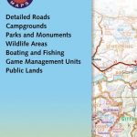
 Canada: ITMB Detailed Road Maps of British Columbia and the Canadian Rockies
 British Columbia South ITMB
 British Columbia ITMB Pocket Road Atlas
 British Columbia Pocket Road Atlas
 Vancouver Island and Haida Gwaii – SW British Columbia Back Road Atlas
 Seattle & Washington State ITMB
 Moon British Columbia: Including the Alaska Highway
 British Columbia ITMB
 Lonely Planet British Columbia & the Canadian Rockies
 Washington State Easy-to-Read Rand McNally
 Canada: ITMB/Canada Map Office Topographic Maps of British Columbia and the Rockies
 Portland & Oregon ITMB
 British Columbia FastTrack
 British Columbia – Alberta FastTrack
 British Columbia MapArt
 Haida Gwaii / Queen Charlotte Islands – British Columbia Coast ITMB
 Sunshine Coast – British Columbia Southwest ITMB
 British Columbia – Alberta MapArt
North Vancouver – Port Coquitlam ITMB
British Columbia – Alberta MapArt
North Vancouver – Port Coquitlam ITMB
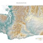 Washington State Physical Wall Map
 Moon Washington
 Fraser Valley and Vancouver ITMB
 NP26 British Columbia Pilot Vol 2
 Southern British Columbia & Alberta ITMB
 British Columbia MapArt Road Atlas
 New York State & New England Recreation Map ITMB
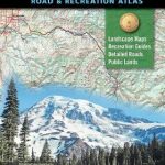 Washington State Road & Recreation Atlas
 NP25 British Columbia Pilot Vol 1
 Vancouver`s Northshore Hiking Trails ITMB
 Alaska`s Inside Passage – Seattle to Anchorage ITMB
 Washington State Recreational Atlas & Gazetteer
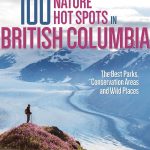 100 Nature Hot Spots in British Columbia: The Best Parks, Conservation Areas and Wild Places
 Washington and Oregon Coast
 Pacific Northwest – Washington – Oregon Michelin Zoom 171
 British Columbia from Scratch: Recipes for Every Season
 Southwest Alberta & Southeast British Columbia Gem Trek
 Washington State Benchmark Recreation Map
 US/Canada Border ITMB