Disclosure : This site contains affiliate links to products. We may receive a commission for purchases made through these links.
British Columbia – Alberta FastTrack
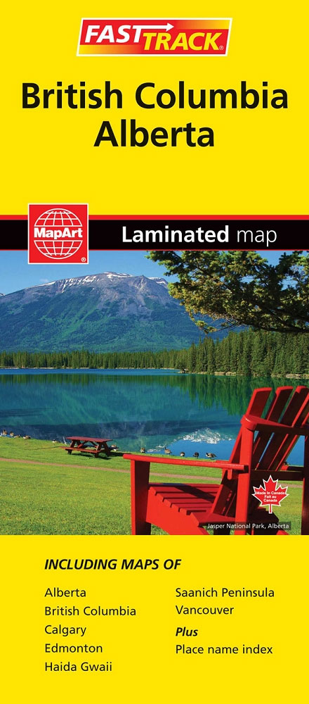
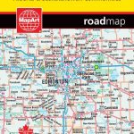
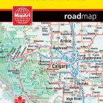
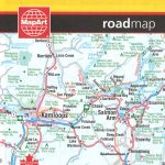
British Columbia and Alberta, including the Banff and Jasper National Parks, on an indexed, double-sided road map presenting both provinces together at 1:2,000,000, plus more detailed mapping of the region’s main urban areas including Vancouver, Victoria, Calgary, etc.On one side both provinces are shown together at 1:2m with their road network presented on a base prominently highlighting their numerous national and provincial parks. Topography is shown by names of mountain ranges, plateaux, etc, with spot heights; numerous rivers and lakes are also named. Road classification indicates paved, loose surface, unimproved and seasonal routes. Driving distances are marked on main and selected secondary connections. The map also shows which locations are assessable by air services. Symbols mark campgrounds, tourist information offices, etc. The map has latitude and longitude grid at 1ยบ intervals and a separate index for each province.On the reverse are enlargements and street maps: Vancouver at 1:100,000 with the whole Fraser Valley shown at 1:250,000; on the Vancouver Island ‘“ Victoria and Nanaimo at 60K plus the Saanich Peninsula at 175K; in the rest of BC ‘“ Whistler, Kamloops and Kelowna all at 60K; plus in Alberta ‘“ Calgary (110K), Edmonton (125K), and Banff, Lethbridge and Red Deer at 60K. Also included is a distance table plus an overview map of Yukon with the Northwest Territories and Nunavut.To see the list of currently available Canadian province and regional maps form the MapArt / Canadian Cartographics Corporation / JDM Gรฉo publishing group, including waterproof and tear-resistant FastTrack titles, please click on the series link.

Related Products:
 British Columbia – Alberta MapArt
 British Columbia FastTrack
 Alberta FastTrack
 Alberta & Saskatchewan
 Alberta MapArt
 Alberta Pocket Road Atlas
 Southwest Alberta & Southeast British Columbia Gem Trek
 Alberta ITMB
 British Columbia South ITMB
 Alberta MapArt Back Road Atlas
 British Columbia MapArt
 British Columbia ITMB Pocket Road Atlas
 British Columbia Pocket Road Atlas
 Calgary – Banff & Enviros FastTrack
 Canada: ITMB Detailed Road Maps of British Columbia and the Canadian Rockies
 Vancouver Island FastTrack
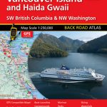 Vancouver Island and Haida Gwaii – SW British Columbia Back Road Atlas
 Southern British Columbia & Alberta ITMB
 Moon Vancouver & Canadian Rockies Road Trip: Victoria, Banff, Jasper, Calgary, the Okanagan, Whistler & the Sea-To-Sky Highway
 Moon British Columbia: Including the Alaska Highway
 Calgary & Southern Alberta Street Atlas
 British Columbia ITMB
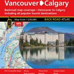 Vancouver to Calgary MapArt Back Road Atlas
 Calgary & Alberta South ITMB
 British Columbia SW & Washington State ITMB
 Saskatchewan FastTrack
 Canada FastTrack
 Canadian Rockies – Banff – Jasper – Yoho Gem Trek Map
 Quรฉbec Province FastTrack
 125 Nature Hot Spots in Alberta: The Best Parks, Conservation Areas and Wild Places
Vancouver Island – Sunshine Coast – Gulf Islands BC MapArt
125 Nature Hot Spots in Alberta: The Best Parks, Conservation Areas and Wild Places
Vancouver Island – Sunshine Coast – Gulf Islands BC MapArt
 Jasper National Park & Northern Alberta ITMB
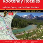 Kootenay Rockies – Calgary and Northern Montana Back Road Atlas
 Vancouver FastTrack
Rocky Mountains Canada and US ITMB
Vancouver Island NGS Adventuer Map 3128
Vancouver FastTrack
Rocky Mountains Canada and US ITMB
Vancouver Island NGS Adventuer Map 3128
 Calgary FastTrack
 Ontario Northern FastTrack Map: North Bay – Sudbury – Thunder Bay – Lake of the Woods
 Lonely Planet British Columbia & the Canadian Rockies
 Canada MapArt Road Atlas