Disclosure : This site contains affiliate links to products. We may receive a commission for purchases made through these links.
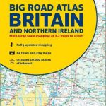
Britain & Ireland Philip`s Big Road Atlas 2022 A3 SPRIAL-BOUND
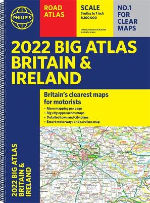
PHILIP`S – THE FASTEST GROWING BRAND OF UK ROAD ATLASES No. 1 in the UK for clear maps `Good balance between detail and clarity with excellent town maps` What Car? Main scale of maps: 3 miles to 1 inch = 1:200,000 Practical `more to view per page` A3 format Great for planning and driving long journeys or short hops Philip`s: Britain`s clearest maps for motorists Completely updated and revised for 2022 with information on Smart Motorways and electric cars – 96 pages of fully updated road maps – Plan your route in advance – 6-page route-planning section – 64 fully indexed town and city plans – 16 pages of city approach maps with named arterial roads – 2-page road map of Ireland – Map of scenic Britain and a map highlighting railways, airports and ferry ports Philip`s 2022 Big Road Atlas Britain and Ireland contains 96 pages of road maps covering Britain at 3 miles to 1 inch (Scottish Highlands and Western Isles at 4 miles to 1 inch, Orkney and Shetland at 5.25 miles to 1 inch). The maps clearly mark service areas, roundabouts and multi-level junctions for easy navigation, and in rural areas distinguish between roads over and under 4 metres wide – a boon for drivers of wide vehicles. The atlas also includes a 2-page road map of Ireland, route-planning maps, a distance table, 12 large-scale city approach maps with named arterial roads, and 64 extra-detailed and fully indexed town and city plans.

Related Products:
 Britain & Ireland Philip`s Road Atlas 2022 A4 SPIRAL-BOUND
 Britain & Ireland Philip`s Big Road Atlas 2022 A3 PAPERBACK
 Britain and Ireland Philip`s Road Atlas 2022 A4 PAPERBACK
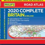
 Britain & Ireland Philip`s Complete Road Atlas 2020 SPIRAL-BOUND
 Britain & Ireland Philip`s Big Road Atlas 2021 A3 PAPERBACK
 Britain & Ireland Philip`s Motorist`s Road Atlas 2019 A3 PAPERBACK
 Britain & Ireland Philip`s Essential Road Atlas 2021 A4 PAPERBACK
 Britain & Ireland Philip`s Complete Road Atlas 2020 HARDBACK
 Britain & Ireland Philip`s Handy Road Atlas A5 SPIRAL-BOUND
 Britain and Ireland Collins Handy Road Atlas 2022 A5 SPIRAL-BOUND
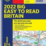 Britain Philip`s Big Easy to Read Road Atlas 2022 A3 SPIRAL-BOUND
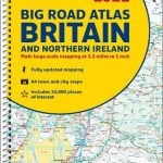 Britain and Northern Ireland Collins Big Road Atlas 2022 A3 SPIRAL-BOUND
 Britain Philip`s Navigator Road Atlas FLEXI-BOUND
 Britain and Northern Ireland Collins Essential Road Atlas 2022 A4 SPIRAL-BOUND
 Britain Philip`s Navigator Road Atlas SPIRAL-BOUND
 Britain and Ireland Collins Handy Road Atlas 2021 A5 SPIRAL-BOUND
 Britain Philip`s Navigator Trucker`s Road Atlas A3 SPIRAL-BOUND
Britain and Ireland Collins Handy Road Atlas 2023 A5 SPIRAL-BOUND
Britain Philip`s Navigator Trucker`s Road Atlas A3 SPIRAL-BOUND
Britain and Ireland Collins Handy Road Atlas 2023 A5 SPIRAL-BOUND
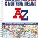 Great Britain & Northern Ireland A-Z Super Scale Road Atlas 2022 A3 SPIRAL-BOUND
 Britain Philip`s Driver`s Road Atlas A4 PAPERBACK
 Britain and Northern Ireland Collins Big Road Atlas 2022 A3 PAPERBACK
 Great Britain & Northern Ireland A-Z Road Atlas 2022 A3 PAPERBACK
Britain and Northern Ireland Collins Big Road Atlas 2023 A3 SPIRAL-BOUND
Great Britain & Northern Ireland A-Z Road Atlas 2022 A3 PAPERBACK
Britain and Northern Ireland Collins Big Road Atlas 2023 A3 SPIRAL-BOUND
 Britain & Ireland Philip`s Complete Road Atlas 2017 SPIRAL-BOUND
 France Philip`s Navigator Road Atlas SPIRAL-BOUND
 Great Britain A-Z Road Atlas 2022 A4 SPIRAL-BOUND
 Britain Philip`s Easy to Read Road Atlas 2022 A4 PAPERBACK
 Britain Philip`s Navigator Easy-Use Road Atlas
 Europe Philip`s Multiscale Road Atlas 2021 A4 SPIRAL-BOUND
 Great Britain & Northern Ireland A-Z Road Atlas 2021 A3 PAPERBACK
 Britain Philip`s Navigator Camping and Caravanning Road Atlas
Great Britain & Northern Ireland A-Z Road Atlas 2023 A3 PAPERBACK
Great Britain & Northern Ireland A-Z Super Scale Road Atlas 2023 A3 SPIRAL-BOUND
Britain Philip`s Navigator Camping and Caravanning Road Atlas
Great Britain & Northern Ireland A-Z Road Atlas 2023 A3 PAPERBACK
Great Britain & Northern Ireland A-Z Super Scale Road Atlas 2023 A3 SPIRAL-BOUND
 Britain Philip`s Compact Road Atlas A5 FLEXIBOUND
 Britain & Ireland Philip`s Big Road Atlas 2017
 Britain and Northern Ireland Collins Big Road Atlas 2021 A3 PAPERBACK
 Europe Philip`s Big Road Atlas 2021 A3
 Britain and Northern Ireland Collins Essential Road Atlas 2021
 Europe Philip`s Complete Road Atlas 2020
Britain and Northern Ireland Collins Big Road Atlas 2023 A3 PAPERBACK
Europe Philip`s Complete Road Atlas 2020
Britain and Northern Ireland Collins Big Road Atlas 2023 A3 PAPERBACK