Disclosure : This site contains affiliate links to products. We may receive a commission for purchases made through these links.
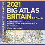
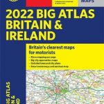
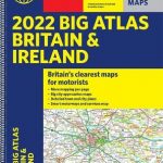
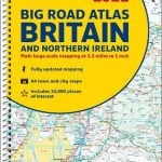
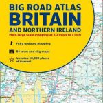
Britain & Ireland Philip`s Big Road Atlas 2017
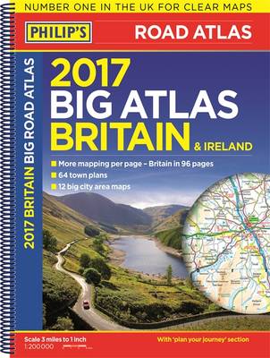
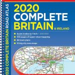
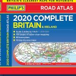
Philip`s Big Road Atlas of Great Britain, 2017 edition in an A3 SPIRAL-BOUND format, with 64 indexed street plans and 12 urban approaches maps, etc. The atlas covers England, Wales and parts of Scotland at 1:200,000 (1″ to 3.15 miles) with the Highlands and Scottish islands at scales of 1:250.000 (1″ to 3.94 miles). Other feature include a map showing motorway services, a 6-page route planner, details of restricted motorway junctions including nine diagrams, a distance/journey time table, plus an overview road map of Ireland. Current edition of this atlas, published in June 2016, includes an article on ‘Mobile Layby Cafes ‘“ gourmet or gruesome?”PLEASE NOTE: Philip’s publishes five different versions of their annually-updated road atlas – all have the same cartography and vary only in their format and the additional features. To the list of all road atlases of Britain from Phillip’s, including their Navigator titles, please click on the series link.Cartography in the annually updated 200K atlases is less detailed than in the publishers’ Navigator titles, showing fewer minor toads or tracks and villages, but highlighting more places of interest. Road information includes all the standard features: motorway service areas, full or restricted access interchanges on motorways and primary routes, level crossings, locations of single or multiple speed cameras, etc. Scenic routes are highlighted Railway lines are shown with stations and ferry connections are marked. A wide range of symbols highlights various places of interest and facilities including caravan and campsites, youth hostels, historical and cultural sites, etc. Each page has a 10-km national grid lines.


