Disclosure : This site contains affiliate links to products. We may receive a commission for purchases made through these links.
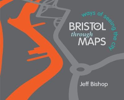
Bristol Through Maps: Ways of Seeing a City
Related Products:
 Victorian Maps of England: The county and city maps of Thomas Moule
 New York City – Brooklyn – Long Island City Red Maps
 Bristol: City on Show
 Bristol (Pitkin City Guide)
 Bristol City Docks Through Time
 Unbuilt Bristol: The city that might have been 1750-2050
 Bristol in 1480 – a Medieval Merchant City
 Bristol – Ethnic Minorities & The City 1000 – 2001
 Where Can I Go? Big City Explorer: Amazing World City Maps and Facts
 Australia: Hema City to City Road Maps
 A City Built Upon The Water: Maritime Bristol 1750-1900
 50 Ways to Beat a Hangover: Weird, Wacky and Wonderful Ways for Prevention and Cure
 New York City Red Maps
 Laos with 15 City Maps
 New York City – Midtown Red Maps
 City Maps and Stories 19th Century
 New York City – SoHo – NoLita – Little Italy Red Maps
 Bristol Dialect: A Selection of Words and Anecdotes from Around Bristol
 Great City Maps
 Michelin City Maps
 Lonely Planet City Maps
 Historic City & Town Maps
 Great Britain: Reproductions of Old City Maps from the Old House Books
 Bristol (NE) 1902 – 72.13a
 50 Miles Around Bristol A-Z Map
 C59 Bristol Channel
 Bristol 1872
 Bristol (SW) & Bedminster 1902 – 75.04a
 Bristol (St George) 1902 – 72.14
 Bristol and District 1912
 Bristol Knowle 1902
 Bristol Fishponds 1902
 Caminos de Santiago / Ways of St. James on the Iberian Peninsula CNIG Overview Map
 Bristol – Bath A-Z Street Atlas
 Bristol Premier A-Z Wall Map PAPER
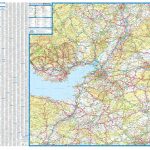 50 Miles Around Bristol Wall Map PAPER
 New York City – Manhattan Michelin City Plan and Index
 VELO City: Bicycle Culture and City Life
 Bristol & Bath – Keynsham & Marshfield OS Explorer Map 155 (paper)
 Bristol: Bartholomew`s Street Plan c.1870 MEDIUM


