Disclosure : This site contains affiliate links to products. We may receive a commission for purchases made through these links.
Brisbane & Queensland ITMB
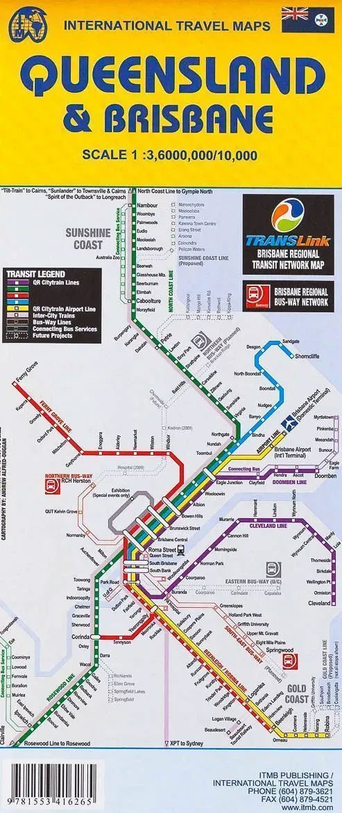
Indexed street plan of Brisbane with, on the reverse, an overview map of not just Queensland, as indicated in the map title, but the whole of eastern Australia, plus a street plan of central Sydney.The plan of Brisbane covers the inner districts and provides a very clear picture of the city’s road and rail networks, particularly the access from streets onto the expressways and major routes. Railway stations and bus network stops are clearly marked, as well as Inner-City and CityCat ferry routes connections. Shopping areas are indicated by colour, with a wide range of symbols highlighting various facilities and places of interest, including numerous hotels. Also included is a diagram of the Trans-Link ferry routes and a road map of the Brisbane region showing access to the resorts of the Sunshine Coast and the Gold Coast.On the reverse a map at 1:3,600,000 shows the whole of eastern Australia, extending along the southern coast beyond Adelaide and inland to Alice Springs. Most of Tasmania is also included. While less detailed in its presentation of the road network and, in particular, lacking information on various facilities such as locations of fuel supplies, the map provides an overview picture of the main road and rail routes within that part of the country.The map highlights main national parks and various places of interest, showing the topography by altitude colouring. Latitude and longitude lines are drawn at 2ยบ intervals and an index of localities is provided. Also included is a large plan of central Sydney, with similar presentation to the plan of Brisbane.


