Disclosure : This site contains affiliate links to products. We may receive a commission for purchases made through these links.
Brentford 1935 – 83.4
Brentford in 1935 in a fascinating series of reproductions of old Ordnance Survey plans in the Alan Godfrey Editions, ideal for anyone interested in the history of their neighbourhood or family. Two versions of this map cover the centre of Brentford and the area to the west, stretching as far as Syonhill Farm and Wyke House; and from Brentford Dock northward to Boston House and White Stile Road. The 1894 version is a map of contrasts, with all the bustle of Brentford in the east half of the map, and many orchards in the western half. Features include Brentford Dock, numerous wharves, the River Brent and Grand Junction Canal, High Street and New Brentford, The Butts, the LSWR railway and Brentford station, the GWR Brentford Branch with its station, Brentford End, Town Hall, Windmill Road, malthouses, Thames Soap Works, St Lawrence`s church and cemetery, the northern tip of Syon Park. This 1935 version shows the area largely built up, with many major factories along the Great West Road. About the Alan Godfrey Editions of the 25″ OS Series:Selected towns in Great Britain and Ireland are covered by maps showing the extent of urban development in the last decades of the 19th and early 20th century. The plans have been taken from the Ordnance Survey mapping and reprinted at about 15 inches to one mile (1:4,340). On the reverse most maps have historical notes and many also include extracts from contemporary directories. Most maps cover about one mile (1.6kms) north/south, one and a half miles (2.4kms) across; adjoining sheets can be combined to provide wider coverage.FOR MORE INFORMATION AND A COMPLETE LIST OF ALL AVAILABLE TITLES PLEASE CLICK ON THE SERIES LINK.

Related Products:
 Kew, Gunnersbury & Old Brentford 1913
 Southall Green 1935
 Brentford 1912 – 83.3
 West Drayton South 1935
 Tannochside & North Uddingston 1935 – 11.03
 New Brighton 1935
 Northolt 1935
 Edgware 1935
 Wood Green 1935 – 7.4
 Northwood Hills 1935
 South Acton & Gunnersbury Park 1935 – 71.4
 Gunnersbury & Old Brentford 1935 – 84.4
 Wealdstone and Hatch End 1935
 Alexandra Park and South Friern 1935
 Muswell Hill 1935 – 11.4
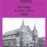 Hornsey & Green Lanes 1935 – 12.4
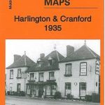 Harlington and Cranford 1935
Ashford (Middx) 1935 – 24.04
Harlington and Cranford 1935
Ashford (Middx) 1935 – 24.04
 Harefield 1935
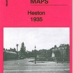 Heston 1935
 South Harrow and Northolt Park 1935
Bellshill 1935 – 11.08
South Harrow and Northolt Park 1935
Bellshill 1935 – 11.08
 Central Liverpool 1906 – 106.14b
Central Liverpool 1890 – 106.14a Colour Edition
Central Liverpool 1906 – 106.14b
Central Liverpool 1890 – 106.14a Colour Edition
 Canning Town & Custom House 1894 – 66.2
 Canning Town & Custom House 1914 – 66.3
 Swansea 1897 – 24.05
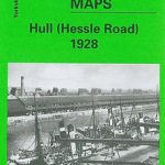 Hull (Hessle Road) 1928 – 240.06b
 Goole 1905
Poplar 1894 – 65.2
Goole 1905
Poplar 1894 – 65.2
 Poplar 1914 – 65.3
 Rotherhithe 1894 – 78.2
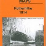 Rotherhithe 1914 – 78.3
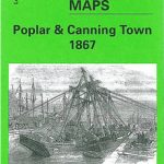 Poplar & Canning Town 1867 – 65.1
Walthamstow West 1913
Poplar & Canning Town 1867 – 65.1
Walthamstow West 1913
 Walthamstow West 1936 – 14.3
Bootle Docks & Seaforth 1907 – 99.13
West Hartlepool 1914 – 37.11c
Walthamstow West 1936 – 14.3
Bootle Docks & Seaforth 1907 – 99.13
West Hartlepool 1914 – 37.11c
 Kirkdale 1906
 Rotherhithe 1868 – 78.1