Disclosure : This site contains affiliate links to products. We may receive a commission for purchases made through these links.
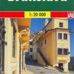
Bratislava Street Plan

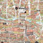
Bratislava on an indexed street plan at 1:16,000 with an enlargement of its historic centre highlighting important buildings by small drawings, a map of the capital’s environs, plus brief descriptions of main sights. Cartography is by Shocart – Slovak subsidiary of Freytag & Berndt.On one side is a street plan of Bratislava with its outer suburbs, including the city’s M. R. ล tefรกnik International Airport. Tram, trolleybus and bus lines are shown with stops and line numbers. For divers the plan indicates one way and pedestrinized streets, car parks and locations of petrol stations. Symbols mark various facilities and places of interest. Street index is on the reverse, together with an inset presenting the city’s historic centre in much greater detail, highlighting main sights, selected hotels and restaurants, etc. The reverse side also provides a contoured map at 1:100,000 of Bratislava’s environs, highlighting numerous hiking trails in the Male Karpaty hills north of the city. Also provided are brief descriptions of main sights in the city. Map legend and the descriptions include English.


