Disclosure : This site contains affiliate links to products. We may receive a commission for purchases made through these links.
Brasil`s Southern Beaches de Dios Map
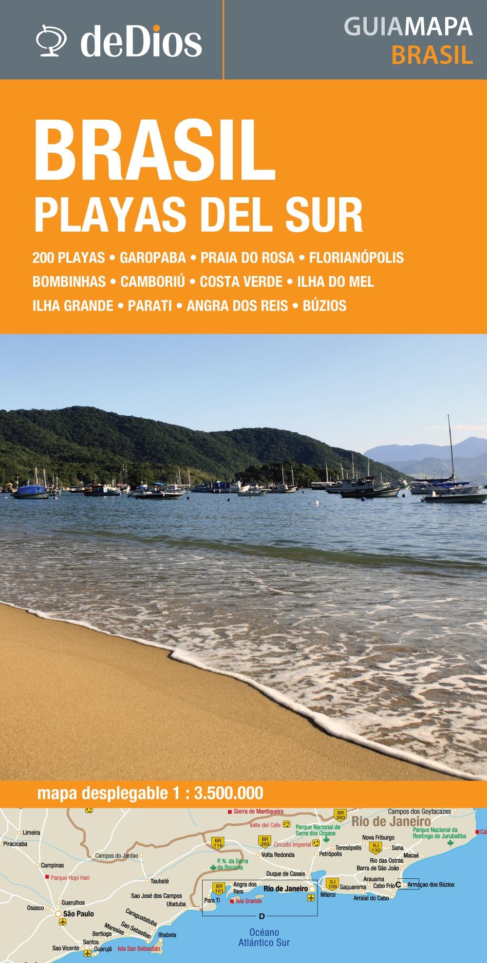
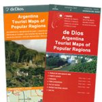
The coast of southern Brazil on a map from the Argentinian publishers de Dios designed to highlight the region’s numerous beaches, with more detailed enlargements for the six most visited areas, classification according to their character, recommendations for accommodation, etc.On one side is a map of the whole region, extending from the Uruguay border north beyond Vitรณria, so including Rio, Sรฃo Paolo, Belo Horizonte and the Iguaรงu Falls. The map shows only main roads, indicates border crossings from Uruguay, Argentina and Paraguay (also listed on an accompanying panel) and highlights numerous beaches, most annotated with brief notes. Also marked is a selection of places of interest further inland. The map has an index listing both the beaches and other locations shown on it.On the reverse the region’s six most visited areas, as indicated on the main map, are presented in greater detail: Florianรณpolis and Ilha de Santa Catarina, Bombinhas / Bombas, Armaรงao dos Bรบzios, Garopaba / Praia do Rosa, Camborรญu, and Costa Verde. The map includes a list of beaches grouped according their character: for families, for youth scene, for sporting activities, nudist, romantic or with charming accommodation, unspoilt, unmissable, etc. Also provided are web addresses of recommended accommodation and of other useful organizations, plus distance and climate charts. All the text is in Spanish only.


