Disclosure : This site contains affiliate links to products. We may receive a commission for purchases made through these links.
Brabant Island to Adelaide Island
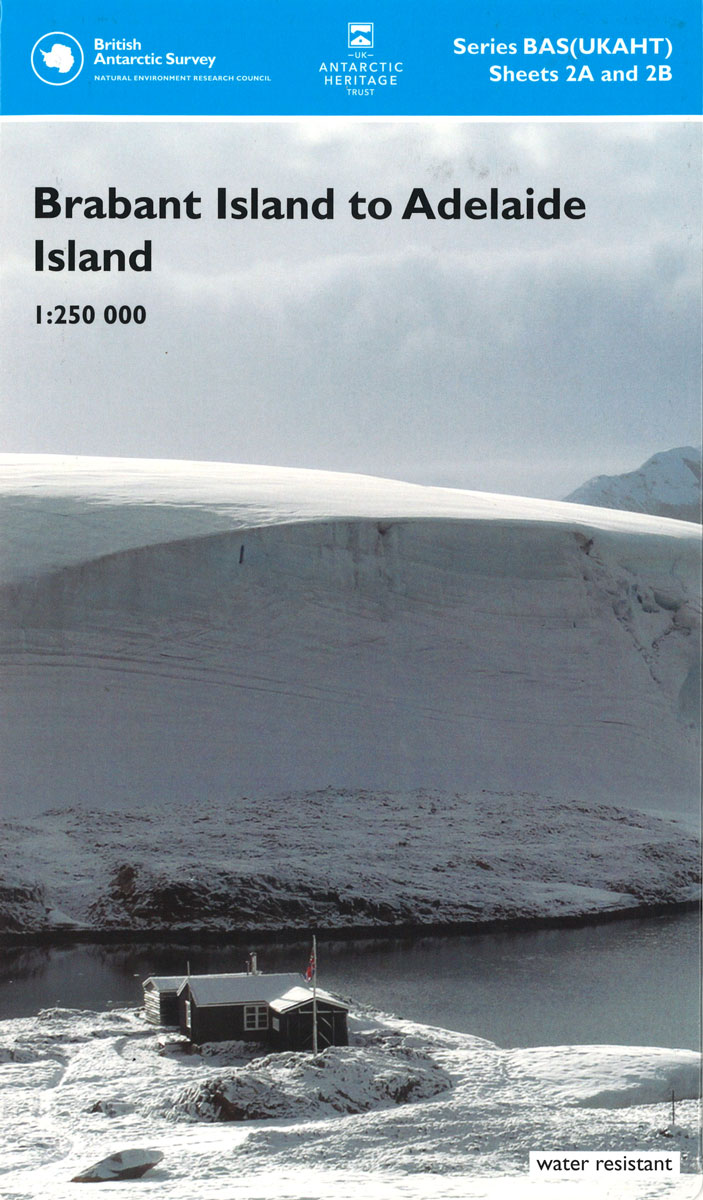
A section of the northern part of the Antarctic Peninsula with the nearby islands, including Brabant Island and Anvers Island (the location of the US Palmer Station), on a contoured topographic map at 1:250,000 published by the British Antarctic Survey and the United Kingdom Antarctic Heritage Trust in 2008. The map provides a vivid presentation of the terrain characteristic of BAS’s topographic mapping and shows permanent and summer-only research stations, as well as locations of historic sites/monuments and Antarctic Specially Protected Areas with their HSM and ASPA numbers. Full BAS ref for this title is: Series BAS (UKAHT) sheet 2.This is the folded version of this title – the map is also available flat.

Related Products:
 Adelaide Island and Arrowsmith Peninsula BAS
 Adelaide Island And Arrowsmith Peninsula Bas Wall Map
 Brabant Island to Adelaide Island UKAHT Wall Map
 South Shetland Islands BAS Wall Map
South Shetland Islands BAS
South Shetland Islands BAS Wall Map
South Shetland Islands BAS
 Northern Antarctic Peninsula
 Northern Antarctic Peninsula UKAHT Wall Map
 Graham Land and South Shetland Islands – Scotia Sea
 Admiralty Chart 3572 – Antarctica – Graham Land, Brabant Islands to Adelaide Island
 NGA Chart 29121 – Brabant Island to Deception Island
 James Ross Island BAS Geological Map 5
 Oahu, Honolulu & Big Island ITMB
 Connecticut & Rhode Island DeLorme Atlas & Gazetteer
Antarctica and the Arctic BAS
Connecticut & Rhode Island DeLorme Atlas & Gazetteer
Antarctica and the Arctic BAS
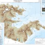 Busen Region – South Georgia BAS Wall Map
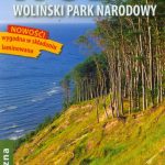 Wolin Island – Wolinski National Park ExpressMap Tourist Map
 Auckland & North Island ITMB
 New Zealand – North Island Reise Know-How
 New Zealand – South Island Reise Know-How
 Nova Scotia & Prince Edward Island ITMB
 Admiralty Chart 2974 – Adelaide Island to Neny Fjord
 Antarctica and the Arctic BAS Wall Map
 Easter Island & Santiago ITMB
 Admiralty Chart 3577 – Adelaide Island – South Western Approaches
 Marco Island – Ten Thousand Islands FL
 Prince Edward Island ITMB
 Adelaide Hills & Barossa SA
South Island – New Zealand Hema
Adelaide Hills & Barossa SA
South Island – New Zealand Hema
 North Island – New Zealand Kiwimaps Complete Drivers Atlas
 South Island – New Zealand Kiwimaps Complete Drivers Atlas
 Antarctica Reise Know-How
 Connecticut & Rhode Island Easy to Fold Rand McNally
 Connecticut – Rhode Island Easy-to-Read Rand McNally
 New Brunswick – Prince Edward Island FastTrack
 NOAA Chart 16480 – Amukta Island to Igitkin Island – Seguam Island’”Finch Cove – Amlia Island’”Sviechnikof Harbor
 Adelaide and Region Hema
 Easter Island / Rapa Nui
 Usedom Island 50K Kรผmmerly + Frey Map No. 15
 North Island – New Zealand Kiwimaps
North Island – New Zealand Hema
North Island – New Zealand Kiwimaps
North Island – New Zealand Hema