Disclosure : This site contains affiliate links to products. We may receive a commission for purchases made through these links.
Bow, Bromley & West Ham 1867 – 53.1
Bow, Bromley and West Ham in 1867 in a fascinating series of reproductions of old Ordnance Survey plans in the Alan Godfrey Editions, ideal for anyone interested in the history of their neighbourhood or family. Three versions for this area have been published, stretching from Fairfield Road and Campbell Road eastward to Holbrook Road, and from Hotham Road southward to Marner Street. The River Lea, Pudding Mill River, City Mill River, Three Mills Wall River and Channel Sea River run down through the map and join in the Bow Creek, with part of the Limehouse Cut alongside; these rivers effectively divide the map between Bow and Bromley to the west and West Ham to the east. Features on the map include Bow, Bromley and West Ham stations, Bow Goods station, many railway sidings and depots, tramways, Stratford Market, many mills and factories alongside the rivers, Abbey Mills Pumping Station, Bromley Workhouse and sick asylum, Mill Meads, Three Mills Distillery, Abbey Marsh, All Saints church West Ham, St Mary`s Bow, West Ham Gas Works, etc. Each map has street directory extracts on the reverse.About the Alan Godfrey Editions of the 25″ OS Series:Selected towns in Great Britain and Ireland are covered by maps showing the extent of urban development in the last decades of the 19th and early 20th century. The plans have been taken from the Ordnance Survey mapping and reprinted at about 15 inches to one mile (1:4,340). On the reverse most maps have historical notes and many also include extracts from contemporary directories. Most maps cover about one mile (1.6kms) north/south, one and a half miles (2.4kms) across; adjoining sheets can be combined to provide wider coverage.FOR MORE INFORMATION AND A COMPLETE LIST OF ALL AVAILABLE TITLES PLEASE CLICK ON THE SERIES LINK.

Related Products:
 Bromley North and Sundridge Park 1895
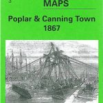 Poplar & Canning Town 1867 – 65.1
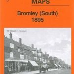 Bromley South 1895
 Blackburn West 1929
 Bromley Common and North-East Hayes 1895
 Rochdale West 1908
 Stratford 1867 – 42.1
 West India Docks 1867 – 79.1
Leicester North West 1902
West India Docks 1867 – 79.1
Leicester North West 1902
 Plumstead 1867
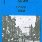 Bolton 1908 – 87.13b
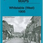 Whitstable West 1905
Worcester South-West 1902
Blackburn 1929
Blackburn 1910
Darlington West 1898
Horbury 1905
Whitstable West 1905
Worcester South-West 1902
Blackburn 1929
Blackburn 1910
Darlington West 1898
Horbury 1905
 Blackburn 1892 (Coloured Edition)
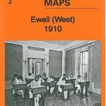 Ewell West 1910
 Bolton North 1908
Poplar 1894 – 65.2
Bolton North 1908
Poplar 1894 – 65.2
 Poplar 1914 – 65.3
Walthamstow West 1913
Poplar 1914 – 65.3
Walthamstow West 1913
 Walthamstow West 1936 – 14.3
Wigan West 1908
Manchester North West and Central Salford 1915
Halifax South West and Sowerby Bridge 1892
Walthamstow West 1936 – 14.3
Wigan West 1908
Manchester North West and Central Salford 1915
Halifax South West and Sowerby Bridge 1892
 St Albans South-West 1897
West Hartlepool 1914 – 37.11c
St Albans South-West 1897
West Hartlepool 1914 – 37.11c
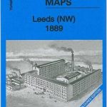 Leeds North West 1889 (Colour Edition)
Crook West 1895
Leeds North West 1889 (Colour Edition)
Crook West 1895
 Hull West 1928
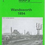 Wandsworth 1894 – 114a
 Staincliffe and Batley Carr 1892
Maldon West 1920 – 55.16
Burnley 1910
Staincliffe and Batley Carr 1892
Maldon West 1920 – 55.16
Burnley 1910
 Wandsworth & SW Battersea 1913 – 114b
Hull West 1890 (Colour Edition)
Wandsworth & SW Battersea 1913 – 114b
Hull West 1890 (Colour Edition)
 London: Bromley (Northern Sheet) Borough Map – Stanfords Print on Demand
 London: Bromley (Southern Sheet) Borough Map – Stanfords Print on Demand