Disclosure : This site contains affiliate links to products. We may receive a commission for purchases made through these links.
Boston

Related Products:
 Boston Globe`s Guide To Boston
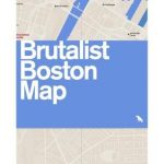 Brutalist Boston Map: Guide to Brutalist Architecture in Boston Area
 DK Eyewitness Top 10 Boston
 Aia Guide To Boston
 Frommer`s Boston Day by Day
 Fodor`s Boston 25 Best
Fodor`s Boston
Fodor`s Boston 25 Best
Fodor`s Boston
 Boston 2011 ( Not For Tourists )
 Boston 2014 ( Not For Tourists )
 111 Places in Boston That You Must Not Miss
 DK Eyewitness Travel Guide Boston
 Insight Guides Experience Boston
 Lonely Planet Pocket Boston
 The Historic Shops and Restaurants of Boston
 Boston Wallpaper City Guide SUPERSEDED
 Frommer`s EasyGuide to Boston, Cape Cod and the Islands
 Lonely Planet Boston City Guide
 Boston Marco Polo Spiral Guide
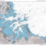
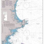
 NOAA Chart 13270 – Boston Harbor
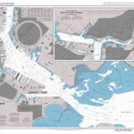
 NOAA Chart 13272 – Boston Inner Harbor
 Admiralty Chart 1516 – Boston Harbor
 Admiralty Chart 1528 – Boston Inner Harbor
 Only In Boston: A Guide to Unique Locations, Hidden Corners and Unusual Objects
 Moon Boston (Second Edition): Neighborhood Walks, Historic Highlights, Beloved Local Spots
 Moon Road Trip USA: New England – Boston, Acadia National Park, White Mountains, Berkshires, Newport, and Cape Cod
 Boston Pop Out Map
 Boston Red Maps
 Boston Borch
 Boston Noir
 Boston PopOut
 Boston Streetwise
 Boston MA Rand McNally
Boston & New England ITMB
Boston MA Rand McNally
Boston & New England ITMB
 Boston and Spalding 1922
 NOAA Chart 13274 – Portsmouth Harbor to Boston Harbor – Merrimack River Extension
 Admiralty Chart 1227 – Portsmouth Harbor to Boston Harbor
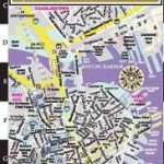
 Boston Lonely Planet City Map
 Boston Marco Polo City Map
 Boston & Spalding OS Landranger Map 131 (paper)
 Boston & Cambridge MA Global Graphics