Disclosure : This site contains affiliate links to products. We may receive a commission for purchases made through these links.
Borneo / Kalimantan ITMB
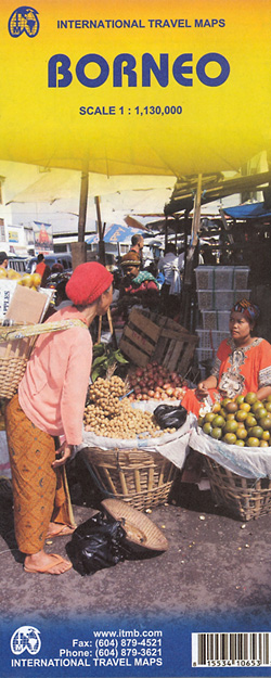
Indexed, double-sided map of the whole of Borneo at 1:1,130,000, showing Indonesian Kalimantan, Brunei and the Malaysian states of Sarawak and Sabah, with street plans of Kuching, Kota Kinabalu and Bandar Seri Bengawan.The island’s topography is shown by altitude colouring, with numerous spot heights (in feet), names of main peaks and swamp areas. Road network includes minor roads and locations of local airfields are indicated. Symbols highlight places of interest, selected tourist accommodation, beaches, etc. Internal boundaries and names of administrative units are shown in all three countries. The map has latitude and longitude grid at intervals of 1ยบ and an index of localities, repeated on both sides of the map.Insets show central parts of Kuching, Kota Kinabalu and Bandar Seri Bengawan, with tourist accommodation, places of interest and various facilities.

Related Products:
 Sarawak – Sabah – Brunei ITMB
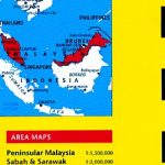
 Malaysia ITMB
 Borneo – Malaysia East – Brunei – Kalimantan Nelles
 Malaysia – Brunei Nelles
 Malaysia Periplus Travel Map
 Togo & Benin ITMB
 Cuba ITMB
 Oman & Yemen ITMB
 Romania & Moldova ITMB
 Panama ITMB
 Mauritius & Reunion ITMB
 Guyana, Suriname & French Guiana ITMB
 Sumatra ITMB
 Ghana ITMB
 Bolivia ITMB
 Algeria ITMB
 Taiwan & Taipei ITMB
 Tanzania ITMB
 Albania ITMB
 Japan North & Hokkaido ITMB
 Paraguay – Bolivia South ITMB
 Madagascar ITMB
 Bhutan & Northeast India ITMB
 Senegal & Gambia ITMB
 Hue – Da Nang & Vietnam Centra ITMB
 Thailand ITMB
 Japan South ITMB Railway & Road Map
 Cayman Islands & Jamaica ITMB
 Peru ITMB
 Central America ITMB
 Thailand, Vietnam, Laos & Cambodia ITMB Travel Atlas
 Southern Vietnam – Mekong Delta ITMB
 Qatar and Doha City ITMB
 Mongolia ITMB
 Kilimanjaro & Tanzania North ITMB
 Argentina South & Tierra del Fuego ITMB
 Rwanda & Burundi ITMB
 Tahiti & Cook Islands ITMB
 Azerbaijan Reise Know-How