Disclosure : This site contains affiliate links to products. We may receive a commission for purchases made through these links.
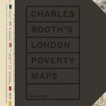
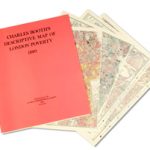
Booth`s Maps of London Poverty: East & West 1889
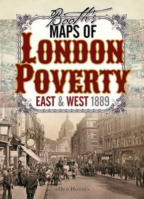
Charles Booth`s famous London Poverty Maps of 1889 reproduced as a set of two maps and presented in a handsome decorative cover with notes on the survey and the classifications adopted for conveying its results.A century after the Industrial Revolution began, some Victorians finally began to confront the problems industrialisation and urbanisation had wrought. The remarkable proliferation of new factories, railways and docks owned by massively wealthy entrepreneurs created new depths of poverty and deprivation, which outraged philanthropist and researcher Charles Booth. These maps, commissioned by Booth and the first of their kind, classify London streets into seven categories, from the very poor lowest class mainly in the east end (but with some surprising enclaves in the fashionable west) right up to the wealthy upper classes in Marylebone and Mayfair. It is a fascinating resource for genealogists, historians and all lovers of London`s past. COVERAGE of the two sheets combined, roughly: west/east ‘“ Holland Park to the western bank of the Isle of Dogs; north/south ‘“ Belsize Park and the Highbury & Islington to Hackney Wick Overground line to Wandsworth Bridge and the Denmark Hill to Brockley railway line. PLEASE NOTE: there is a small gap between the two sheets, roughly mid-way between Waterloo Bridge and Blackfriers Bridge, and no survey results are shown within the boundary of the City of London.To see other maps in this series please click on the series link.


