Disclosure : This site contains affiliate links to products. We may receive a commission for purchases made through these links.
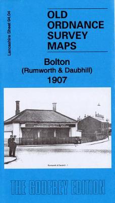
Bolton (Rumworth & Daubhill) 1907 – 94.04

Related Products:
 Bolton 1928 – 87.13c
 Bolton (West) 1927 – 86.16
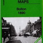 Bolton 1890 – 87.13a Coloured Edition
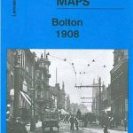 Bolton 1908 – 87.13b
 The Madonna of Bolton
 Bolton North 1908
 Bolton upon Dearne 1901
 Bolton – Bury A-Z Street Atlas
 Portsea 1907 – 83.07b
 Southsea 1907 – 83.12b
 Wetherby 1907 – 172.14
 Isle of Ely 1907 – 173
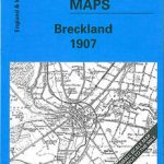 Breckland 1907 – 174
 Bolton, Wigan & Warrington OS Explorer Map 276 (paper)
 Castle Bolton, Middleham and Redmire 1910
Bolton South and Great Lever 1927
Castle Bolton, Middleham and Redmire 1910
Bolton South and Great Lever 1927
 Manchester, Bolton & Warrington OS Landranger Map 109 (paper)
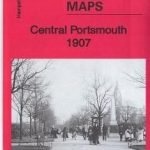 Central Portsmouth 1907 – 83.08b
 Milnrow & Newhey 1907 – 89.06
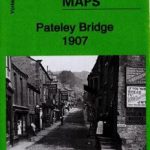 Pateley Bridge 1907 – 135.04
 Wakefield & District 1907 – 78
 Redditch & District 1907 – 183
 Diss & District 1907 – 175
 Sheffield & District 1907 – 100
 Hunstanton & The Wash 1907 – 129
 Wisbech & District 1907 – 159
 Hilton House 1907 – 86.14
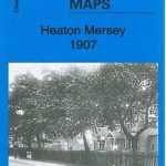 Heaton Mersey 1907 – 10.14
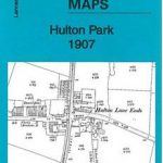 Hulton Park 1907 – 94.08
 Shaw & Crompton 1907 – 89.14
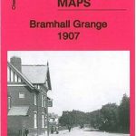 Bramhall Grange 1907 – 19.07
 Bolton, Wigan & Warrington OS Explorer Active Map 276 (waterproof)
 Manchester, Bolton & Warrington OS Landranger Active Map 109 (waterproof)
 King`s Lynn & District 1907 – 145
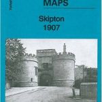 Skipton 1907: Yorkshire Sheet 168.05
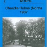 Cheadle Hulme (North) 1907 – 19.06
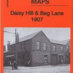 Daisy Hill & Bag Lane 1907 – 94.11
 An Historical Map of Canterbury – from Roman Times to 1907
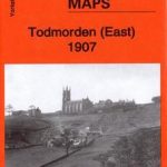 Todmorden (East) 1907: Yorkshire Sheet 229.11
 Hart Common & Dobb Brow 1907 – 94.06