Disclosure : This site contains affiliate links to products. We may receive a commission for purchases made through these links.
Bolivia: Alpenvereinskarte Walking Maps of Cordillera Real
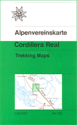
Hiking maps of the Cordillera Real produced by the German and Austrian Alpine Clubs. Physical relief is shown by contours at 40m intervals, spot heights and hill-shading. Further graphics show natural terrain features e.g. rock faces, glaciers, swamps and forests. Varying grades of road are shown, including dirt tracks and footpaths. UTM coordinates are given in the margins, plus latitude and longitude ticks at 1` intervals. Map legend is in Spanish and German only.

Related Products:
 Cordillera Real South – Illimani Alpenverein 0/9
Cordillera Real North – Illampu Alpenverein 0/8
Cordillera Real South – Illimani Alpenverein 0/9
Cordillera Real North – Illampu Alpenverein 0/8
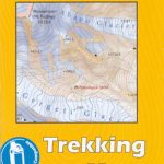
 Peru: Alpenvereinskarte Trekking Maps
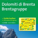
 Italy: F&B Walking Maps of the Dolomites
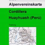 Cordillera Huayhuash Alpenverein 0/3C
 Italy: Tabacco 50K Walking Maps of the Dolomites and North-Easterm Italy
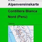 Cordillera Blanca North Alpenverein 0/3A
Cordillera Blanca South Alpenverein 0/3B
Cordillera Blanca North Alpenverein 0/3A
Cordillera Blanca South Alpenverein 0/3B
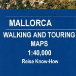 Spain: Reise Know-How Walking and Touring Maps of Mallorca
 Great Britain: CroydeCycle Local Walking Maps of the West Country
 Greece: Anavasi Hiking Maps of the Mainland and Peloponnese
 Italy: IGC 50K Walking Maps of North-Western Italy
 Spain: Editorial Alpina Walking Maps
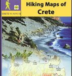 Greece: Anavasi Hiking Maps of Crete
 Switzerland: Kรผmmerly + Frey 60K Walking Maps
 Italy: Ed. Multigraphic Walking Maps of Central Italy
 Italy: Kompass 25K/40K Hiking Maps of the Dolomites
 Italy: Edizioni Multigraphic 25K Walking Maps of Central Italy
 Georgia: Geoland 50K Trekking Maps
 Bolivia Reise Know-How
 Mexico: ITMB Regional Road Maps
 Poland: CartoMedia Walking Maps of Southern Polish Highlands
 France: Rando Editions 50K Walking Maps of the French Alps
 Cordillera Cantabrica
 USA: Earthwalk Press Hiking Maps
 Poland: WZKart Hiking Maps
 Slovenia: Kompass 75K Hiking and Cycling Maps
 Australia: Hema State Road Maps
 Finland: Karttakeskus 250/400K GT Road Maps
 Northern Ireland: OSNI 50K Discoverer Maps
 Paraguay – Bolivia South ITMB
 Italy: IGC 25K Walking Maps of the Italian Alps
 Germany: Alpenverein/Bavarian Survey 25K Hiking Maps
 Cordillera Cantabrica – Asturias and the Surrounding Provinces Adrados Map
 Italy: Zanetti 30K Maps of the Italian Alps
 Slovenia: Alpine Club 50K and 25K Hiking Maps
 South Africa: 250K Topographic Survey Maps
 Germany: Bavarian 50K Topographic Survey Leisure Maps
 Tierra del Fuego – Cordillera Darwin – Lago Fagnano – Isla Navarino SIG Patagon
 Austria: Freytag & Berndt Hiking Maps