Disclosure : This site contains affiliate links to products. We may receive a commission for purchases made through these links.
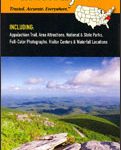
Blue Ridge Parkway NC/VA Destination Map
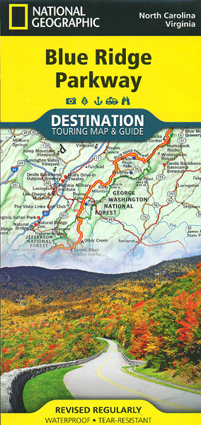
The Blue Ridge Parkway along the Appalachian Mountains on a light, waterproof and tear-resistant map at 1:800,000 from the National Geographic in their Destination Map series with highlighting for protected areas and recreational facilities, tourist notes, etc.On one side the main map shows the course of the Parkway and connecting roads in the Appalachian Mountains, with coverage extending out to show road access from Washington DC, Baltimore, Richmond, Charlotte, Knoxville and Charleston. Symbols highlight numerous places of interest and various facilities, both along the Parkway itself and in the adjoining areas. Also marked in the course of the Appalachian Trail long-distance footpath. Topography is indicated by light relief shading, with colouring for the boundaries of different protected areas including the Shenandoah and the Great Smoky Mountains National Parks which are also presented in greater detail on two accompanying insets. The map has latitude and longitude lines at 1ยฐ intervals and is surrounded by notes with descriptions of various places of interest, cross-referenced to the map. On the reverse there areas are notes about the region’s history, places to visit, recreational possibilities, etc, plus a table of facilities in state parks near the Parkway and a list of Visitor Centres.To see other titles in this series please click on the series list.


