Disclosure : This site contains affiliate links to products. We may receive a commission for purchases made through these links.
Categories
-
Best Sellers
-
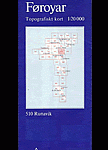
Saksunardalur
Topographic survey of Faroe Islands at 1:20,000 prepared by the Danish national mapping agency Kort og Matrikelstyrelsen. The islands’ topography is vividly presented by contours at Read More » -
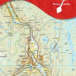
Stรธren Nordeca 10085
Map No. 10085, Stรธren, in the new topographic survey of Norway at 1:50,000 covering the country on 195 double-sided sheets and first published by Nordeca in Read More » -

Selected Climbs: Mont Blanc & the Aiguilles Rouges: 60 Rock Routes from F4 to F6a+
Selected Climbs: Mont Blanc & the Aiguilles Rouges presents the best rock climbs in the Mont Blanc range and on the Aiguilles Rouges, from F4 to Read More » -

Admiralty Chart 323 – Dover Strait Eastern Part
NEW EDITION ON 04/03/2021Admiralty standard nautical charts comply with Safety of Life at Sea (SOLAS) regulations and are ideal for professional, commercial and recreational use. Charts Read More » -
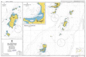
Admiralty Chart 793 – The Grenadines – Northern Part
NEW EDITION ON 26/09/2019Admiralty standard nautical charts comply with Safety of Life at Sea (SOLAS) regulations and are ideal for professional, commercial and recreational use. Charts Read More » -

The Sun and Her Flowers
A revised hardcover edition of the #1 New York Times bestseller `the sun and her flowers` by Rupi Kaur, author the #1 New York Times bestseller Read More » -

Good Housekeeping Easy to Make! Pasta and Noodles
Now it couldn`t be easier to transform a bowl of pasta or noodles into an inspired family meal. This book has every recipe you need to Read More » -

Kalix
Topographic survey of Sweden at 1:50,000, the Terrรคngkartan, from the Lantmรคteriet, covering most of the country in 244 double-sided maps. Please note: the mountainous regions of Read More » -

Barcelona Luxe City Guide, 7th Ed.
All LUXE print guides will be relaunched in 2017, the first major evolution since we published our first Bangkok print guide in late 2002. While keeping Read More » -

NOAA Chart 19347 – Channels between Moloka’i, Maui, Lana`i and Kaho`olawe – Manele Bay
NOAA maintains the nautical charts and publications for U.S. coasts and the Great Lakes. Over a thousand charts cover 95,000 miles of shoreline and 3.4 million Read More »
-


