Disclosure : This site contains affiliate links to products. We may receive a commission for purchases made through these links.
Blackburn 1892 (Coloured Edition)
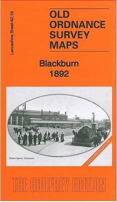
Blackburn in 1892 in a fascinating series of reproductions of old Ordnance Survey plans in the Alan Godfrey Editions, ideal for anyone interested in the history of their neighbourhood or family. Three versions of this map have been published, extending from Wimberley Street and Brockkhouse southward to Lower Audley Steet and Pringle Street, and from Bradshaw Street and New Park Street eastward to Hole House. Features include the railway station, Daisyfield station, Leeds & Liverpool Canal, Town Hall, Market Place, Cathedral, Audley Mill, Walpole Street Mill, Cicely Bridge Mill, Higher Mill, Parkside Mill, Newton Street Mill, Springfield Mills, Prospect Mill, Furthergate Mill, many other mills, Higher Audley, St Peter`s Ward, St Mary`s Ward, St John`s Ward, St Matthew`s Ward, Trinity Ward, Green Bank, Canal Engineering Works, etc. By the time of the 1929 map some of the mills were disused, an ominous sign that Blackburn`s age of prosperity as a great mill town was over. Street directory entries are on the reverse of each map.About the Alan Godfrey Editions of the 25″ OS Series:Selected towns in Great Britain and Ireland are covered by maps showing the extent of urban development in the last decades of the 19th and early 20th century. The plans have been taken from the Ordnance Survey mapping and reprinted at about 15 inches to one mile (1:4,340). On the reverse most maps have historical notes and many also include extracts from contemporary directories. Most maps cover about one mile (1.6kms) north/south, one and a half miles (2.4kms) across; adjoining sheets can be combined to provide wider coverage.FOR MORE INFORMATION AND A COMPLETE LIST OF ALL AVAILABLE TITLES PLEASE CLICK ON THE SERIES LINK.

Related Products:
 Blackburn 1929
Blackburn 1910
Blackburn West 1929
Blackburn 1929
Blackburn 1910
Blackburn West 1929
 Staincliffe and Batley Carr 1892
Halifax South West and Sowerby Bridge 1892
Staincliffe and Batley Carr 1892
Halifax South West and Sowerby Bridge 1892
 Bolton North 1908
 Bolton 1908 – 87.13b
 Plymouth Hoe 1892
 Chorley 1909
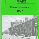 Barnoldswick 1907
Burnley 1910
Barnoldswick 1907
Burnley 1910
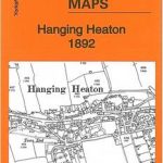 Hanging Heaton 1892
 Bradford Central 1906
Horbury 1905
Ashton-under-Lyne 1916
Glasgow Green 1892
North Chorley 1909 – 77.08
Oswaldtwistle and Church 1909
Bolton South and Great Lever 1927
Bilston 1884 – 62.16a Coloured Edition
Bow, Bromley & West Ham 1867 – 53.1
Bradford Central 1906
Horbury 1905
Ashton-under-Lyne 1916
Glasgow Green 1892
North Chorley 1909 – 77.08
Oswaldtwistle and Church 1909
Bolton South and Great Lever 1927
Bilston 1884 – 62.16a Coloured Edition
Bow, Bromley & West Ham 1867 – 53.1
 Peebles 1906 – 13.06
Holmfirth 1904
Padiham 1909
Gillingham (Dorset) 1900
Peebles 1906 – 13.06
Holmfirth 1904
Padiham 1909
Gillingham (Dorset) 1900
 Manchester: Ancoats North 1848
Kidderminster 1921
Openshaw 1905
Manchester: Ancoats North 1848
Kidderminster 1921
Openshaw 1905
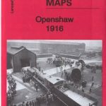 Openshaw 1916
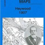 Heywood 1907
Hurst and North Ashton 1906
South Yardley and Hay Mills 1903
Cockermouth 1898
Heywood 1907
Hurst and North Ashton 1906
South Yardley and Hay Mills 1903
Cockermouth 1898
 Bury North 1908
Paisley 1858 (Colour Edition)
Accrington 1909
Bury North 1908
Paisley 1858 (Colour Edition)
Accrington 1909
 Wandsworth 1894 – 114a
Alloa 1899
Wandsworth 1894 – 114a
Alloa 1899
 Derby (South) 1899 – 50.13a
Stalybridge and Ashton 1918
Derby (South) 1899 – 50.13a
Stalybridge and Ashton 1918