Disclosure : This site contains affiliate links to products. We may receive a commission for purchases made through these links.
Bishopbriggs 1910

Bishopbriggs 1910 in a fascinating series of reproductions of old Ordnance Survey plans in the Alan Godfrey Editions, ideal for anyone interested in the history of their neighbourhood or family. The map covers the village of Bishopbriggs, just north-east of Glasgow. The NBR Edinburgh-Glasgow line runs through the map and features include the station, Crowhill, numerous disused quarries, Brackenbrae, tramway along Kirkintilloch Road, Huntershill House, Springburn Park goods station (at extreme bottom of map), etc. Set away from the village are St Mary`s Industrial School for boys and Kenmure House. On the reverse are 1893 and 1910 directories for Bishopbriggs.About the Alan Godfrey Editions of the 25″ OS Series:Selected towns in Great Britain and Ireland are covered by maps showing the extent of urban development in the last decades of the 19th and early 20th century. The plans have been taken from the Ordnance Survey mapping and reprinted at about 15 inches to one mile (1:4,340). On the reverse most maps have historical notes and many also include extracts from contemporary directories. Most maps cover about one mile (1.6kms) north/south, one and a half miles (2.4kms) across; adjoining sheets can be combined to provide wider coverage.FOR MORE INFORMATION AND A COMPLETE LIST OF ALL AVAILABLE TITLES PLEASE CLICK ON THE SERIES LINK.

Related Products:
 Goathland 1910 – 45.16
 Poulton-le-Fylde 1910 – 51.02
 Dyserth and Meliden 1910
 Cathcart 1910
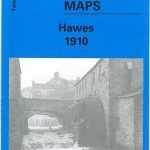 Hawes 1910
Holytown & New Stevenston 1910 – 12.06
Hawes 1910
Holytown & New Stevenston 1910 – 12.06
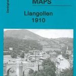 Llangollen 1910
 Minera 1910
Carshalton & North Wallington 1910 – 13.12
Minera 1910
Carshalton & North Wallington 1910 – 13.12
 Mitcham 1910
Motherwell 1910 – 12.13b
Denbigh 1910
Mitcham 1910
Motherwell 1910 – 12.13b
Denbigh 1910
 Reeth and Grinton 1910
Rutherglen East 1910
Talwrn 1910
Reeth and Grinton 1910
Rutherglen East 1910
Talwrn 1910
 Castle Bolton, Middleham and Redmire 1910
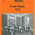 Ewell West 1910
Blackburn 1910
Coatbridge 1910 – 7.12b
Blackpool North Pier & Town Centre 1910
Glasgow Queen`s Park 1910
Rutherglen West and Polmadie 1910
Ewell West 1910
Blackburn 1910
Coatbridge 1910 – 7.12b
Blackpool North Pier & Town Centre 1910
Glasgow Queen`s Park 1910
Rutherglen West and Polmadie 1910
 Fleetwood 1910
Blackpool North Shore 1910-1938
Burnley 1910
Fleetwood 1910
Blackpool North Shore 1910-1938
Burnley 1910
 Holywell 1910
Glasgow High Street 1909
Glasgow High Street 1933
Carmyle 1934
Glasgow East End 1893
Theydon Bois 1915
Holywell 1910
Glasgow High Street 1909
Glasgow High Street 1933
Carmyle 1934
Glasgow East End 1893
Theydon Bois 1915
 Thornton Cleveleys 1910
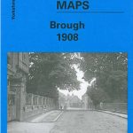 Brough 1908
Lenzie 1897
Glasgow North East 1893
Royston 1904
Hayle and Lelant 1876
Birmingham and District 1910
Dundonald 1902
Tannochside & North Uddingston 1935 – 11.03
Brough 1908
Lenzie 1897
Glasgow North East 1893
Royston 1904
Hayle and Lelant 1876
Birmingham and District 1910
Dundonald 1902
Tannochside & North Uddingston 1935 – 11.03