Disclosure : This site contains affiliate links to products. We may receive a commission for purchases made through these links.
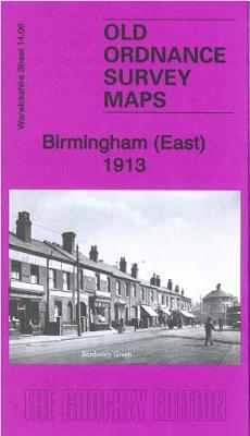
Birmingham (East) 1913 – 14.06b
Related Products:
 Birmingham (Sparkhill & Greet) 1913 – 14.14c
 Birmingham (Saltley) 1913: Warwickshire Sheet 14.02B
 Birmingham South 1913
 Birmingham North 1913
 Birmingham Central 1913
 Cowdenbeath (East) 1913 – 34.12
 Ilkeston (East) & Cossall 1913 – 46.14
 Hartlepool & East Durham 1913 – 27
 Gateshead East & St Peters 1913: Tyneside Sheet 19a
 East Jarrow 1913
 Halesowen (East) 1913 – 5.13b
 East Acton & Wormholt 1913 – 58.3
 Walking the Grand Union Canal from London to Birmingham: 153 Mile Walk from the River Thames at Bentford to Gas Street Basin, Birmingham. Can be Done in 9 Stages
 Birmingham: The Hidden History
 Hometown Tales: Birmingham
 Birmingham Bizzy City – Map-Guide of what to see and how to get there
 Birmingham (Winson Green & Hockley) 1914 – 13.04c
 Central Birmingham 1902: Warwickshire Sheet 14.05B
 Birmingham (Saltley) 1886: Warwickshire Sheet 14.02a
 The Book of Birmingham: A City in Short Fiction
 Bournbrook & Birmingham University 1914: Warwickshire Sheet 13.16b
 East Frisia – East Frisian Islands Marco Polo Leisure Map 05
 Birmingham Z-Map
 This is Birmingham
 Birmingham AL Rand McNally
 50 Miles Around Birmingham A-Z Wall Map
 Birmingham West 1914
 Birmingham and District 1910
 Birmingham Greenways Cycle Map
 Birmingham A-Z Pocket Street Map
 Birmingham A-Z Street Atlas
 Heanor 1913 – 45.04
 Uxbridge 1913 – 14.03b
 Methil 1913 – 28.08a
 Longbenton 1913 – 31
 Old Thornaby 1913 – 56.04
 Morriston 1913 – 15.09
 Walsall (SW) 1913 – 63.10b
 Walsall (SE) 1913 – 63.11b
 Bilston 1913 – 62.16c


