Disclosure : This site contains affiliate links to products. We may receive a commission for purchases made through these links.
Birmingham A-Z Street Plan Wall Map
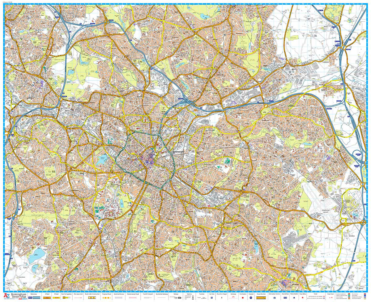
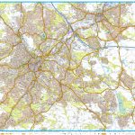
This Street Map of Birmingham is extracted from A-Z digital data to ensure that the latest A-Z revision is available as a printed sheet map.The map area covers:The National Exhibition CentreBirmingham International AirportSolihull (part)Yardley Wood (part)BirminghamSmethwickWest BromwichWednesbury (part)Castle BromwichQuintonA-Z Street Mapping includes:Distinctive road classification coloursUnder construction and proposed roadsOne-way streetsRailway and other transport networksCategorised buildingsPlaces of Interest

Related Products:
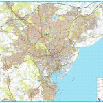
 Portsmouth A-Z Street Plan Wall Map
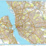
 Southampton A-Z Street Plan Wall Map
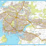
 Coventry A-Z Street Plan Wall Map
 Cardiff A-Z Street Plan Wall Map
 Birmingham A-Z Street Atlas
 Walking the Grand Union Canal from London to Birmingham: 153 Mile Walk from the River Thames at Bentford to Gas Street Basin, Birmingham. Can be Done in 9 Stages
 Birmingham – Dudley – Solihull – Walsall – Wolverhampton A-Z Big Street Atlas
 Liverpool A-Z Street Plan Wall Map
 Nuremberg Falk EXTRA Street Plan
 Birmingham A-Z Pocket Street Map
 Linz F&B Tourist Street Plan
Bremen Falk EXTRA Street Plan
Hanover Falk EXTRA Street Plan
Linz F&B Tourist Street Plan
Bremen Falk EXTRA Street Plan
Hanover Falk EXTRA Street Plan
 Leeds A-Z Street Plan Wall Map
 Salzburg F&B Tourist Street Plan
Trier Falk EXTRA Street Plan
Frankfurt am Main Falk EXTRA Street Plan
Salzburg F&B Tourist Street Plan
Trier Falk EXTRA Street Plan
Frankfurt am Main Falk EXTRA Street Plan
 Plymouth A-Z Street Plan Wall Map
 Salzburg F&B Street Plan
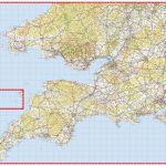 South West England & South Wales A-Z Wall Map PAPER
 Haarlem Falkplan Street Plan
 Nuremburg in 3-D Street Plan
 Leicester A-Z Street Plan Wall Map
 Sheffield A-Z Street Plan Wall Map
 Iasi Cartographia Street Plan
 Riga City Center Jana Seta Street Plan
Buenos Aires Street de Dios Street Plan
Riga City Center Jana Seta Street Plan
Buenos Aires Street de Dios Street Plan
 Bastia – Ajaccio – Calvi – Porto Vecchio Blay-Foldex Street Plan
 Paris Michelin Street Plan
 Padua TCI Street Plan
 Pau Blay-Foldex Street Plan
 Sofia Domino Street Plan
 Bangkok Walks Street Plan
 Vienna F&B Tourist Street Plan
Palermo TCI Street Plan
Vienna F&B Tourist Street Plan
Palermo TCI Street Plan
 Hyรจres Blay-Foldex Street Plan
 Mรขcon Blay-Foldex Street Plan
 Nice Blay-Foldex Street Plan
 Poitiers Blay-Foldex Street Plan
 Valence Blay-Foldex Street Plan