Disclosure : This site contains affiliate links to products. We may receive a commission for purchases made through these links.
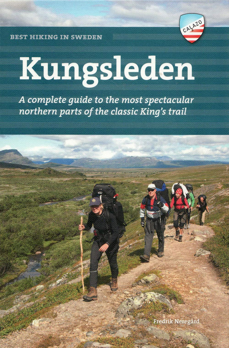
Best hiking in Sweden – Kungsleden

Related Products:
 Trekking the Kungsleden: The King`s Trail through Northern Sweden
 Best hiking in Sweden – Skaneleden
 Best hiking in Sweden – The High Coast
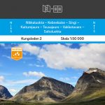
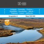
 Kungsleden Map & Guide 1:50 000
 Abisko – Kebnekaise Kungsleden Map & Guide Set 1
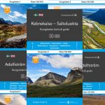
 Kebnekaise – Saltoluokta Kungsleden Map & Guide Set 2
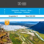 Saltoluokta – Kvikkjokk Kungsleden Map & Guide Set 3
 Kvikkjokk – Adolfstrรถm Kungsleden Map & Guide Set 4
 Adolfstrรถm – Hemavan Kungsleden Map & Guide Set 5
 A Short Residence In Sweden
 Sweden – Concise History
 The Father: Made in Sweden
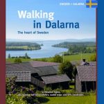 Walking in Dalarna: The Heart of Sweden
 Fishing in Utopia – Sweden and the Future that Disappeared
 Smile of a Midsummer Night: A Picture of Sweden
 Made in Sweden: 25 Ideas That Created a Country
 Walking in Vรคrmland – The Lake Region of Central Sweden
 Hiking Alaska: A Guide to Alaska`s Greatest Hiking Adventures
 Jamie Does… Spain, Italy, Morocco, Greece, Sweden and France
 Sweden Birds: A Folding Pocket Guide to Familiar Species
 Nordic Tales: Folktales from Norway, Sweden, Finland, Iceland, and Denmark
The Nordic Baker: Plant-Based Bakes and Seasonal Stories from a Kitchen in the Heart of Sweden
Nordic Tales: Folktales from Norway, Sweden, Finland, Iceland, and Denmark
The Nordic Baker: Plant-Based Bakes and Seasonal Stories from a Kitchen in the Heart of Sweden
 Sweden F&B
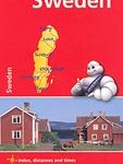 Sweden Michelin
 Sweden K+F Road Map
 Sweden Wall Map
 DK Eyewitness Sweden
 Flag of Sweden
South Sweden
Made in Sweden
Flag of Sweden
South Sweden
Made in Sweden
 Finland & Sweden ITMB
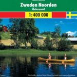 Sweden North – Ostersund F&B
 Sweden F&B Road Atlas
 Sweden Marco Polo Map
Sweden Norstedts Wall Map
Sweden Norstedts Road Map
Sweden Marco Polo Map
Sweden Norstedts Wall Map
Sweden Norstedts Road Map
 Blue Guide Sweden
 Lonely Planet Sweden
 Sweden – Culture Smart!
 Sweden Hand Flag