Disclosure : This site contains affiliate links to products. We may receive a commission for purchases made through these links.
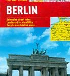
Berlin Michelin City Map
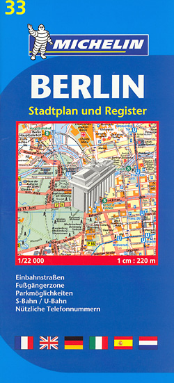
Berlin street plan from Michelin, primarily designed to be used for access to and travel across the city by car, given its wide coverage of the outer suburbs and detailed presentation of the surrounding motorway network. The plan is double-sided and covers the city with its outer suburbs including both Tegel and Schรถnefeld airports, with central Potsdam shown as an inset. Road network is shown with the usual care associated with Michelin’s road maps: detailed layout of motorway junctions, dual carriageways, tunnels or underpasses, etc. Main traffic arteries are highlighted; one way streets and selected car parks are marked. The plan shows U-Bahn, S-Bahn and DB railway lines and stations, as well and Park & Ride facilities and taxi ranks and has a additional diagram of the U- and S-Bahn networks. Public buildings and facilities such as museums, theatres, historical monuments, churches, etc. are highlighted and named. An enlargement at 1:12,000 shows the city centre in greater detail, covering the area from Tiergarten to Alexanderplatz, i.e. without the centre of the old West Berlin. Map legend includes English. The index, in a separate booklet attached to the map cover, is arranged by location, with streets in the outer suburbs listed separately.To see the list of titles in this series please click on the series link.

Related Products:
 Berlin Cityplan Pocket Map
 Amsterdam Michelin City Map
 Malaga Michelin City Map
 Granada Michelin City Map
 Florence Michelin City Map
 Porto Michelin City Plan and Index
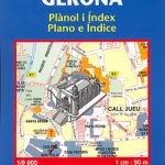 Girona/Gerona Michelin City Map
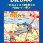 Bilbao Michelin City Map
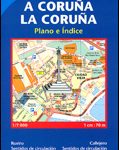 La Coruรฑa Michelin City Map
 Santander Michelin City Map
 Seville Michelin City Map
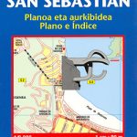 San Sebastian / Donostia Michelin City Map
 Berlin Marco Polo City Map
 Berlin Falk Touristplan Pocket Map
 Brussels Hike & Bike Map
 Greater Brussels Hike & Bike Map
 Halle Forest Hike & Bike Map
 Brisbane Suburbs & City Centre UBD Gregory`s 418
 Valencia Michelin City Map
 Berlin Michelin Citymap
 Berlin Borch
 Michelin City Maps
 Hamburg Borch
 Berlin ADAC CityAtlas
 Nuremberg City Pocket Plan
 Munich F&B
 Brisbane UBD Gregory`s City Pocket 460
 Sydney City Streets & Suburbs UBD Gregory`s 262
 Munich F&B Wall Map
 Melbourne Suburbs & City Centre UBD Gregory`s 318
 Sydney Suburbs & City Centre UBD Gregory`s 218
 Frankfurt am Main Borch
 Munich F&B Wall Map – with Metal Hanging Strips
 Lisbon Michelin City Plan and Index
 Riga and Vicinity Jana Seta Street Atlas
 Blue Mountains Suburban Streets UBD Gregory`s 290
 Palma de Mallorca Michelin City Map
 London Michelin City Map
 Melbourne UBD Gregory`s City Pocket 360