Disclosure : This site contains affiliate links to products. We may receive a commission for purchases made through these links.
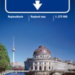
Berlin – Brandenburg – Magdeburg F&B Road and Leisure Map
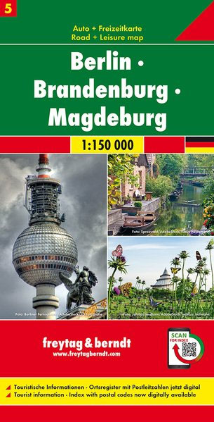
Berlin – Brandenburg – Magdeburg Map in Freytag & Berndt’s series of detailed road maps at 1:150,000 covering Germany’s popular holiday areas.Now with digital booklet and index – all information quickly and conveniently on your mobile phone!Relief is portrayed by hill-shading without distracting from other detail. Although these maps are using the same cartography as the publishers’ 1:200,000 regional series, better scale and colouring make minor local roads and motorway junctions stand out more clearly. Road information includes intermediate driving distances, toll routes, scenic roads and tourist routes, steep gradients, caravan traffic restrictions, seasonal closures on mountain roads, etc. Railways, cable cars, ferries and airfields are also shown. Selected cycle routes and long distance hiking trails are included.Symbols mark various landmarks, places of interest and facilities, e.g. selected hotels, campsites, historical and architectural sites, etc. Latitude and longitude lines are drawn at 10` intervals. Map legend and the descriptions include English.To see the list of titles in this series please click on the series link.

Related Products:
 Schleswig-Holstein – Hamburg F&B Road and Leisure Map
 Rugen – Mecklenburg-Vorpommern F&B Road and Leisure Map
 East Frisia – Munsterland – Bremen F&B Road and Leisure Map
 Hanover – Harz – East Westphalia F&B Road and Leisure Map
 Westphalia – Rhineland-Palatinate – Saarland F&B Road and Leisure Map
 Saxony – Thuringia – Upper Franconia F&B Road and Leisure Map
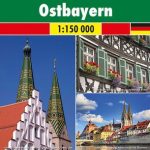 Franconia – Altmuhltal – Bavaria East F&B Road and Leisure Map
 Black Forest – Swabian Alb – Lake Constance F&B Road and Leisure Map
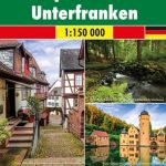 Thuringian Forest – Spessart – Lower Franconia F&B Road and Leisure Map
 Upper Bavaria – Lower Bavaria – Swabia F&B Road and Leisure Map
 Berlin – Brandenburg – Saxony-Anhalt K+F Regional Road Map
 Berlin – Brandenburg Marco Polo Regional Map 4
 Germany: Freytag & Berndt “Top 10 Tips” Road Maps
 Allgau F&B Top 10 Tips
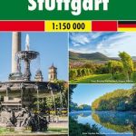 Greater Stuttgart F&B Top 10 Tips
 Greater Frankfurt F&B Top 10 Tips
 Brandenburg – Berlin F&B
 Eifel – Moselle – Hunsruck – Westerwald F&B Top 10 Tips
 Black Forest F&B Top 10 Tips
 Berlin North
 Berlin South
 Berlin and Environs Cycling Map
 Berlin Wall Cycle Route Bikeline Map-Guide ENGLISH
 Tatra F&B Top 10 Tips
 Brandenburg – Spreewald Cycling Map 9
Spreewald – Berlin Lakes Cycling Map
Brandenburg – Spreewald Cycling Map 9
Spreewald – Berlin Lakes Cycling Map
 Berlin Cycling Map
 Magdeburg and Environs
 Australia Hema Road & 4WD Atlas PAPERBACK
 Finland East Karttakeskus Road Map
 Spree Cycle Route – from Source to Berlin Bikeline Map-Guide
 Berlin to Copenhagen Cycle Route Bikeline Map-Guide
 Berlin-Usedom – Metropolis to Baltic Sea Cycle Route Bikeline Map-Guide
Finland North Karttakeskus Road Map
Hamburg – Berlin Cycle Route Bikeline Map-Guide
Berlin-Usedom – Metropolis to Baltic Sea Cycle Route Bikeline Map-Guide
Finland North Karttakeskus Road Map
Hamburg – Berlin Cycle Route Bikeline Map-Guide
 Finland West Karttakeskus Road Map
 Australia Hema Road & 4WD Touring Atlas A4 SPIRAL-BOUND
Finland South Karttakeskus Road Map
Australia Hema Road & 4WD Touring Atlas A4 SPIRAL-BOUND
Finland South Karttakeskus Road Map
 Europe Cycle Route R1 – Arnhem via Berlin to Oder Bikeline Map-Guide
 Brandenburg Cycle Region Esterbauer Map-Guide