Disclosure : This site contains affiliate links to products. We may receive a commission for purchases made through these links.
Benelux – North France Michelin Road Atlas SPIRAL-BOUND
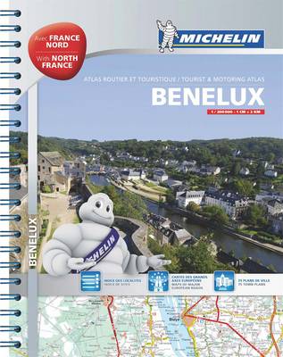
The three Benelux countries and the northern tip of France at 1:150,000 in an A4 spiral-bound road atlas from Michelin, plus a route planning map, 67 indexed city centre street plans, and coverage of Europe at 1:3,500,000. Mapping of Belgium and the Netherlands is taken from the publishers’ Regional Series at 1:200,000 and simply enlarged to 1:150,000 for greater clarity and presented with lighter shading and colouring for relief and woodlands to make the road network stand out better from the background. Coverage of northern France has cartography of Michelin’s Local Series, with similar changes in the presentation.Road network is presented with details characteristic of Michelin’s road maps: motorways with services and rest areas, interchanges with numbers, smaller roads indicating their widths, height and weight limits, difficult sections and steep gradients, scenic routes, etc. Driving distances are marked on main and on larger local routes. Railway lines are included, local airports are marked, and ferry connections indicate those for cars or passengers/bicycles only. Small symbols indicate campsites (Benelux only) and various places of interest or recreational facilities. Within France towns and other locations with visiting are also marked. Individual pages have no geographical coordinates. Map legend includes English. 67 towns have street plans of their city centre, indicating main traffic arteries, one way streets, car parks, tourist information offices and principal sights. Only selected streets are named and listed in the accompanying index. Each plan is presented with a road map of a wider area showing access to the centre. Also provided is a route planning map of the whole area at 1:1,000,000, a comprehensive distance table, plus mapping of Europe at 1:3,500,000.Please click on the series link to see the list of Michelin`s folded regional road maps for the Benelux countries.


