Disclosure : This site contains affiliate links to products. We may receive a commission for purchases made through these links.
Ben Nevis – Mamores & Grey Corries Harvey Ultramap XT40
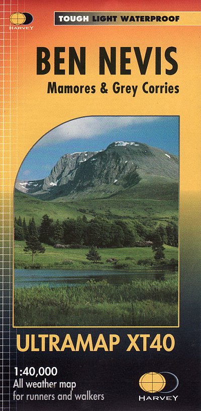
Ben Nevis with the Mamores and Grey Corries ranges at 1:40,000 on a waterproof and tear-resistant, pocket-size Ultramap from Harvey Map Services with the same cartography as their Superwalker map of this area. The peak of Ben Nevis is also shown in greater detail at 1:20,000. The map divides the area north/south, with a good overlap between the sides, extending from Fort William past Loch Treig to Chno Deang, plus south to Loch Leven and the Blackwater Reservoir. The enlargement highlights the bad visibility descent route including instructions. The main map at 40K also shows recommended mountain bike trails.PLEASE NOTE: this title is also available as a Superwalker map at 1:25,000 – to see the list of titles available in this series please click on the series link.Maps in Harvey’s Superwalker series have contours at 15m intervals, with additional graphics for various types of terrain (crags, large boulders, scattered rocks) and colouring for different kinds of land use or vegetation (pastures, bogs, forests or woodland, etc). The maps show local hiking paths, indicating where appropriate long-distance routes, and boundaries of national parks or other protected areas. Scottish titles also indicate Munro, Corbett and Graham hills. Some maps additionally highlight local cycle routes. A range of symbols mark various facilities for walkers including youth or independent hostels, campsites and caravan sites, information points, etc. Each map has a 1-km British or Irish national grid.


