Disclosure : This site contains affiliate links to products. We may receive a commission for purchases made through these links.
Basin Of The Mediterranean Map SMALL
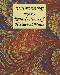
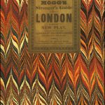
Small size cloth-backed version of a reproduction by Old Folding Maps of Edward Mogg`s ‘Stranger`s Guide to London, Exhibiting all the various Alterations & Improvements complete to the Present Time” published in January 1837. The map shows London with ‘a list of 500 of the principal places with references to their situation on the above plan”. Main streets and green spaces are coloured in, and the map also shows the boundary of the City of London. Coverage roughly: most of Regent’s Park – Pentonville Road – Hackney; Stepney ‘“ Surrey Docks; Kennington including part of The Oval; Royal Chelsea Hospital ‘“ most of Hyde Park. A hand-written note in the north-west margin ‘Dorset Square, I have marked +, it is in this corner” add a personal touch from one of the map’s previous users.Each cloth-backed individual map is presented folded in a colourful case covered with a unique design marbled paper ‘“ no two cases are identical.Please note: this title is also available in a larger size. To see the list of all the titles in this series from the Old Folding Maps please click on the series link.


