Disclosure : This site contains affiliate links to products. We may receive a commission for purchases made through these links.
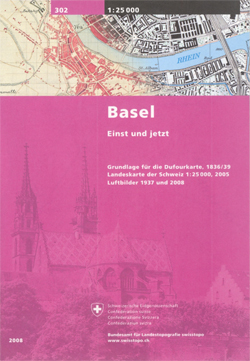
Basel Once and Today Swisstopo Map No. 302

Basel Once and Today map from Swisstopo, Switzerland’s national survey organization, with an excellent combination of two detailed topographic maps and two aerial photos, comparing presentation of the city at different stages in its development. One side shows the city and its environs on two topographic maps at 1:25,000: a beautiful colour reproduction of Swiss Survey’s famous ‘Dufourkarte” series drawn between 1836 and 1839, contrasting it with a map of the same area from 2005.On the reverse there are two aerial images at 1:15,000: a black and white photo from 1937 with the same area photographed in colour in 2008. The accompanying text about the two topographic series and the two aerial imagery series is in French and German only.For the list of other titles in this series please click on the series link.


