Disclosure : This site contains affiliate links to products. We may receive a commission for purchases made through these links.
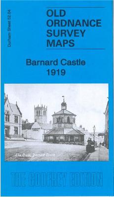
Barnard Castle 1919 – 52.04b

Related Products:
 Barnard Castle 1897 – 52.04a
 Barnard Castle and Richmond 1925
 Barnard Castle & Richmond – Teesdale OS Landranger 92
 Barnard Castle & Richmond – Teesdale OS Landranger 92 ACTIVE
 Build! A Knight`s Castle: Pop Out and Build a Castle Battle Scene
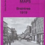 Braintree 1919 – 35.05
 Consett 1919 – 11.14b
 Blackhill & Benfieldside 1919 – 11.10b
 Chipping Sodbury 1919 – 69.10
 Chapel Allerton 1919 – 203.10b
The Castle
Chapel Allerton 1919 – 203.10b
The Castle
 In The Castle
 There May Be a Castle
 I Capture The Castle
 I`m the King of the Castle
 Kings of the Castle
 The Castle of Inside Out
Wickford 1919
The Castle of Inside Out
Wickford 1919
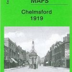 Chelmsford 1919
beeston castle – cheshire
Chelmsford 1919
beeston castle – cheshire
 Paddington – King of the Castle
 The Castle of Crossed Destinies
 Peep Inside The Castle
 The Tale of the Castle Mice
 Lumley Castle 1895 – 13.14
Chelmsford 1919-1922
Swindon and Devizes 1919
Newbury and Wantage 1919
Newquay and Bodmin 1919
Truro and Falmouth 1919
Bude & Clovelly 1919 – 190
Lumley Castle 1895 – 13.14
Chelmsford 1919-1922
Swindon and Devizes 1919
Newbury and Wantage 1919
Newquay and Bodmin 1919
Truro and Falmouth 1919
Bude & Clovelly 1919 – 190
 Between the Wars: 1919-1939
 Maisy`s Castle: A Pop-Up-and-Play Book
 Windsor Castle: Official Souvenir
 Hylton Castle & Castletown 1914 – 8.09
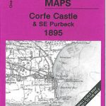 Corfe Castle & SE Purbeck 1895 – 343
 Windsor Castle: An Illustrated History
Minehead and Brendon Hills 1919
Windsor Castle: An Illustrated History
Minehead and Brendon Hills 1919
 Glasgow 1919: The Rise of Red Clydeside
 Versailles 1919: A Centennial Perspective