Disclosure : This site contains affiliate links to products. We may receive a commission for purchases made through these links.
Bariloche – Siete Lagos de Dios Regional Map

Bariloche – Siete Lagos area in a series of handy format, light, laminated and waterproof concertina maps of Argentina’s popular regions and routes from De Dios, presenting a selection of tourist road maps, street plans and trekking suggestions. The road maps in these titles do not aim to provide a detailed picture of the region’s road network, but are designed to highlight interesting routes or main tourist attractions. Similarly, the more detailed maps of hiking areas provide just the basic indication of the topography, with very general altitude colouring, spot heights for main peaks, plus rivers and lakes, and show access roads, refuges, campsites and other accommodation facilities, viewpoints, and recommended hiking routes. The street plans show town centres with main hotels, places of interest, bus terminals, petrol stations, etc. The maps have no geographical coordinates. Map legends are in Spanish. *In this title:* eight different maps covering the border areas of Patagonia:* An overview map at 1:860,000 of the Argentinian side of the Andes, centred on San Carlos de Bariloche and extending north across San Martรญn de los Andes to Las Lajas and south to Lago Vintter.* Enlargements at 1:160,000 for the areas around El Boston and Cholila, plus at 1:100,000 of the southern shore of Lake Nahuel Huapi.* Overview map of the Paso Cardenal Antonio Samore with roads leading from San Carlos de Bariloche to the Chilean side.* Street plans of San Carlos de Bariloche, San Martรญn de los Andes and Villa la Angostura.

Related Products:
 Bariloche – Siete Lagos de Dios Map-Guide SPANISH
 San Carlos de Bariloche SPANISH
 Iguazu Falls de Dios Regional Map
 El Chaten – El Calafate de Dios Regional Map
 Peninsula Valdes de Dios Regional Map
North Argentina de Dios Regional Map
Peninsula Valdes de Dios Regional Map
North Argentina de Dios Regional Map
 Argentina ACA Regional Zone 7 – Patagonia North
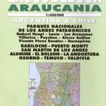 Lagos del Sur – Araucania
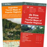
Argentina: de Dios Tourist Maps of Popular Regions
Lagos del Sur – Araucania
Argentina: de Dios Tourist Maps of Popular Regions
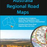 Australia: UBD Gregory`s Regional Road Maps
 Ruta 40 de Dios
 Asturias – Cantabria Michelin Regional 572
 Extremadura – Castilla-la Mancha – Madrid Michelin Regional 576
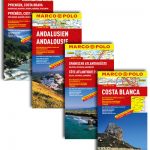
 Andalucia Michelin Regional 578
 Aragon – Catalonia Michelin Regional 574
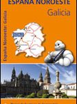 Galicia Michelin Regional 571
 Balearic Islands Michelin Regional 579
 Castilla y Leon – Madrid Michelin Regional 575
 Comunidad Valenciana – Murcia Michelin Regional 577
 Portugal North Michelin Regional 591
 Portugal Central Michelin Regional 592
 Portugal South Michelin Regional 593
 Basque Country – Navarra – La Rioja Michelin Regional 573
 Spain: Michelin Regional Road Maps
 Indonesia: Periplus Regional Maps
 Argentina North – Uruguay Nelles
 Italy North East Michelin Regional 562
 Italy Central Michelin Regional 563
 Villarrica, Llanquihue & Chiloe
 Italy North West Michelin Regional 561
 USA: Borch Regional Road Maps
 Portugal: Michelin Regional Road Maps
 Rio de Janeiro de Dios CityMap
 Spain: Mairdumont 300K Regional Road Maps
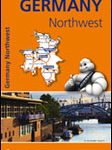 Germany North West Michelin Regional 541
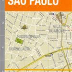 Sรฃo Paulo de Dios CityMap
 Indonesia: Reise-Know How Regional Maps
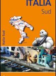 Italy South Michelin Regional 564
 Italy: Michelin 200K Regional Road Maps