Disclosure : This site contains affiliate links to products. We may receive a commission for purchases made through these links.
Barcelona F&B

Large map covering most of the city – from Badalona in the northeast to Port Vell and la Mogoria la Franca in the south and Tibidabo in the west.Road detail is clear and main roads are in bold colours. Pedestrian zones are marked, also railways, metro lines, cable cars, public buildings, industrial zones, parks, cemeteries and sports grounds. Symbols depict places of worship, car parks, tourist information offices, post offices, hospitals, police stations, monuments, UNESCO sites, theatres, museums.An inset road map shows the main roads in the surrounding region.Multilingual legend includes English. Street index on reverse.
Related Products:
 Cape Town F&B
 Helsinki F&B
 Windhoek F&B
 Innsbruck F&B Tourist Street Plan
 Montrรฉal Borch
 Dorset Philip`s Street Atlas
 Miami Borch
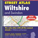 Wiltshire and Swindon Philip`s Street Atlas
 Gloucestershire Philip`s Street Atlas
 Vienna F&B Tourist Street Plan
 Barcelona “Maps to Go” Street Plan
 Surrey Philip`s Street Atlas
 Cornwall Philip`s Street Atlas
 Barcelona Province
 Delhi Street Atlas
 Budapest Street Atlas
 San Francisco Borch
 Angola
 India South Borch
 Athens F&B City Pocket Map
 London Philip`s Mini Street Atlas
 Norfolk Philip`s Street Atlas
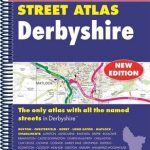 Derbyshire Philip`s Street Atlas
 Devon Philip`s Street Atlas
 London Michelin City Map
 Buenos Aires Borch
 Costa Brava – Andorra – Perpignan – Barcelona Marco Polo Map
 Leicestershire and Rutland Philip`s Street Atlas
 Lisbon Michelin City Plan and Index
 Milan
Milan
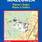 Palma de Mallorca Michelin City Map
 Lisbon F&B
 Mahilyow (Mogilev)
 Homyel` (Gomel`)
 Vitsyebsk (Vitebsk )
 Hrodna (Grodno)
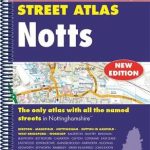 Nottinghamshire Philip`s Street Atlas
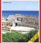 Tarragona
 Dominica
 San Sebastian / Donostia


