Disclosure : This site contains affiliate links to products. We may receive a commission for purchases made through these links.
Bangkok Handy Atlas
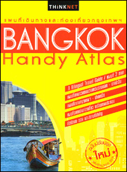
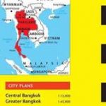
Bangkok Handy Atlas from the Thai publishers Thinknet, in an A5 paperback format, presenting the metropolitan area at 1:71,000, central Bangkok at 1:19,000, and seven of the city’s most visited areas at various much more detailed scales with manes of individual buildings and/or various facilities. All names, both of streets or districts, buildings and institutions, train stations and other transport information, various facilities including hotels, restaurants, banks, etc. are bilingual in Thai and English.Both the Metropolitan Bangkok section and the more detailed maps of the city’s central districts are annotated with symbols and names of numerous institutions, facilities and places of interest. Street names are in the Thai and Latin alphabet; names of businesses are in Thai and English, as is the map legend. Very extensive index lists streets/roads plus in separate sections hotels, department stores, markets, public transport stations and piers, temples, tourist attractions, etc.More detailed mapping at various scales is provided for the city’s most visited areas: the historic Rattanakosin district further enlargements for the Chinatown (Yaowarat) and for Khaosan Road area, plus Sukhumvit Road, Silom Road, Sian-Ratch Damri area, and the Chatuchak Weekend Market. These maps additionally show bus route numbers and name numerous individual buildings, businesses and institutions; the plan of the Chatuchak Weekend Market indicates what goods are sold in each of its sections. The atlas is fully indexed with additional lists of stations and piers, embassies, hotels and other accommodations, department stores, government institutions, medical and emergency facilities, etc. Also provided are diagrams of metro/skytrain and river ferry services.Also provided is a diagram of the BRT, MRT, rail, river boat, etc network.

Related Products:
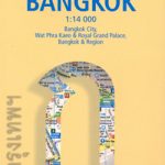
 Bangkok Walks Street Plan
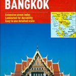
 Thailand Handy Road Atlas
 Bangkok Borch
 Bangkok Marco Polo City Map
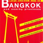 Bangkok and the Nearby Provinces
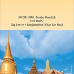 Bangkok and Greater Bangkok Nelles
 Tokyo City Atlas – a Bilingual Guide
 Bangkok & Thailand South ITMB
 Bangkok PopOut
 The 500 Hidden Secrets of Bangkok
 Bangkok – Chiang Mai – Phuket & Phang Nga Michelin Red Guide 2021
 Berlitz Pocket Guide Bangkok
 Bangkok
 DK Eyewitness Top 10 Bangkok
 Bangkok, Chiang Mai, Phuket & Phang Nga Michelin Red Guide 2020
 Port Harcourt
 Lonely Planet Pocket Bangkok
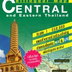 Central and Eastern Thailand
 Fodor`s Bangkok 25 Best
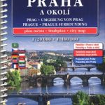 Prague Street Atlas
 Bangkok Thai: The Busaba Cookbook
 Irkutsk
 Bangkok Marco Polo Pocket Guide 2019 – with pull out map
 Another Bangkok: Reflections on the City
 Moscow Jana Seta Street Plan
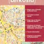 Nicosia
 The Rough Guide to Bangkok
 Frommer`s Bangkok Day by Day
 Northern Thailand
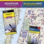 Thailand – Bangkok NGS Adventure Map Pack Bundle
 Skopje Street Atlas
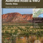 Australia Hema Handy Atlas SPIRAL-BOUND
 Old City of Jerusalem Map
 Bangkok Found
 Insight Guides Explore Bangkok (Travel Guide with Free eBook)
 Bangkok Periplus Travel Map
 Switzerland Hallwag City Atlas
 North-Eastern Thailand
 Scotland Collins Handy Road Atlas
 Southern Thailand