Disclosure : This site contains affiliate links to products. We may receive a commission for purchases made through these links.
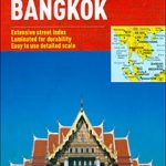
Bangkok and Greater Bangkok Nelles
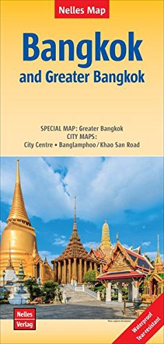
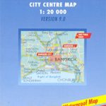
Bangkok on a double-sided map from Nelles combining an indexed street plan at 1:15,000 of the city’s central districts with a more general plan of the capital with its outer suburbs presented at 1:75,000. Both plans highlight numerous places of interest.On one side the main, indexed plan covers the city’s inner districts showing public transport routes: metro and skytrain lines with stations, bus routes with line numbers, and express boat service along the river. Public buildings, including selected hotels, are clearly marked and named, and shopping centres or market streets are indicated. The main centre of tourist accommodation, Banglamphoo – Khao San Road area, is also shown in greater detail on a small enlargement.On the reverse a more general plan at 1:75,000 covers the city with its outer suburbs, highlighting main traffic arteries, including access to the international airport. Metro, skytrain and express boat lines are marked, plus the suburban railway lines with station names. In addition to information described above, the plan also gives names of numerous industrial and educational establishments, etc. Also provided are details of Chao Phraya Express Boat services. Map legend includes English.

Related Products:
 Greater Brussels Hike & Bike Map
 Bangkok & Thailand South ITMB
 Bangkok
 Bangkok and the Nearby Provinces
 Bangkok Borch
 Bangkok Marco Polo City Map
 Amsterdam Falkplan Street Plan
 Amsterdam Falkplan Street Plan and Cycling Map
 Vancouver & Greater Vancouver ITMB
 Moscow ITMB
Palermo TCI Street Plan
Moscow ITMB
Palermo TCI Street Plan
 Brussels Hike & Bike Map
 Halle Forest Hike & Bike Map
 Bangkok Handy Atlas
 Copenhagen Borch
 St. Petersburg Jana Seta Street Plan
 Munich F&B
 Malaysia West – Singapore Nelles
 Amsterdam Michelin City Map
 Bilbao Michelin City Map
 Geneva: Greater Geneva Street Plan
 Munich F&B Wall Map
 Porto Michelin City Plan and Index
 Munich F&B Wall Map – with Metal Hanging Strips
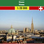 Vienna F&B
 Tunisia Nelles Map
 Turin TCI Street Plan
 Seville Michelin City Map
 Philippines – Manila Nelles
 Malaga Michelin City Map
Greater Vienna F&B Street Atlas
Malaga Michelin City Map
Greater Vienna F&B Street Atlas
 Brisbane UBD Gregory`s City Pocket 460
 Melbourne Suburbs & City Centre UBD Gregory`s 318
 Bangkok Walks Street Plan
 Sydney Suburbs & City Centre UBD Gregory`s 218
 Prague F&B
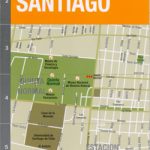 Santiago de Chile de Dios CityMap
 Berlin Michelin City Map
 Sri Lanka Nelles
 Korea North and South Nelles