Disclosure : This site contains affiliate links to products. We may receive a commission for purchases made through these links.
Ballons des Vosges by Bike IGN Cycling Map VEL09

Related Products:
 Ste-Marie-aux-Mines – PNR des Ballons des Vosges IGN WATERPROOF 3617ETR
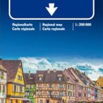
 Colmar – Mulhouse – Bale – PNR des Ballons des Vosges Alsace du Sud (Sundgau) IGN TOP100 122
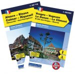
 Vosges – Le Donon – Le Climont – St-Die-des Vosges – ObernaiK+F Outdoor Map 6
 Vosges – Le Hohneck – Gรฉrardner – St-Diรฉ-des-Vosges K+F Outdoor Map 4
 On Your Bike: All You Need to Know About Cycling for Kids
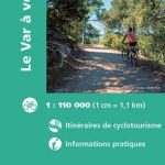 Le Var by Bike IGN Cycling Map VEL06
 The Man and His Bike: Musings on life and the art of cycling
 Le Finistere by Bike IGN Cycling Map VEL07
 Stuttgart E-Bike-Region Cycling Map
 Bike London: A Guide to Cycling in the City
 On the Road Bike: The Search For a Nation`s Cycling Soul
 Escape by Bike: Adventure Cycling, Bikepacking and Touring Off-Road
 To Hell on a Bike: Riding Paris-Roubaix: the Toughest Race in Cycling
 Ultralight Bike Touring and Bikepacking: The Ultimate Guide to Lightweight Cycling Adventures
 Safe Cycling in the City: How to choose a bike, maintain it, cycle safely, get fit and stay healthy
 Back in the Frame: Cycling, belonging and finding joy on a bike
 Cycling in the Yorkshire Dales: 25 Bike Routes on Quiet Lanes in the Dales
 Cycling Paradises: 100 Bike Tours of the World`s Most Breathtaking Places to Pedal
Sauerland Bike Area Mountain Bike Atlas
Cycling Paradises: 100 Bike Tours of the World`s Most Breathtaking Places to Pedal
Sauerland Bike Area Mountain Bike Atlas
 The Great British Cycling: The History of British Bike Racing, 1868-2014
 Cuba by Bike: 35 Bike Rides on the Caribbean`s Biggest Island
Vosges Motorcycle Map
Cuba by Bike: 35 Bike Rides on the Caribbean`s Biggest Island
Vosges Motorcycle Map
 Alsace – Vosges K+F Road Map
 Vosges – Lac Blanc Supertrail Map
 Haute-Saรดne – Vosges Michelin Local 314
Vosges Mountains – Alsace – Black Forest
Haute-Saรดne – Vosges Michelin Local 314
Vosges Mountains – Alsace – Black Forest
 Vosges South – Ballon d`Alsace – le Hohneck IGN 75028
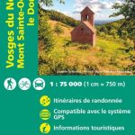 Vosges North – Mont Sainte-Odile – le Donon IGN 75027
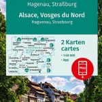 Alsace – Vosges North – Hagenau – Starsburg 2-Map Set Kompass 2220
 Alsace – Vosges Central – Strasbourg – Colmar 2-Map Set Kompass 2221
 Alsace – Vosges South – Colmar – Mulhouse 2-Map Set Kompass 2222
 Ultra-Distance Cycling: An Expert Guide to Endurance Cycling
 Cycling In Ireland: A guide to the best of Irish cycling
 Vosges – Ballon d`Alsace – Le Grand Ballon – Belfort – Thann K+F Outdoor Map 3
 Strasbourg – Forbach – PNR des Vosges du Nord – Alsace du Nord IGN TOP100 112
Massif des Vosges – Plaine d`Alsace IGN Top200 201
Strasbourg – Forbach – PNR des Vosges du Nord – Alsace du Nord IGN TOP100 112
Massif des Vosges – Plaine d`Alsace IGN Top200 201
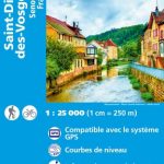 Saint-Die-des-Vosges – Senones – Fraize IGN 3617OT
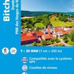 Bitche – Dambach – PNR des Vosges du Nord IGN 3713ET
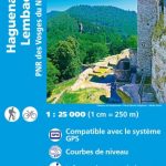 Haguenau – Lembach – PNR des Vosges du Nord IGN 3814ET
 Haute-Saone – Vosges – Territoire de Belfort IGN D721345