Disclosure : This site contains affiliate links to products. We may receive a commission for purchases made through these links.
Bali – Lombok Nelles
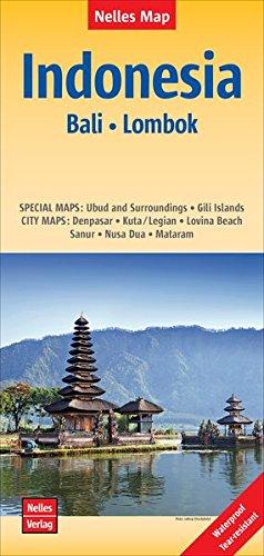
Bali and Lombok at 1:180,000 on a waterproof and tear-resistant, double-sided map from Nelles, with each island presented with street plans and/or enlargements for its most visited locations. Bali, shown on one side with the Penida Island, is accompanied by street plans of Denpasar, Kuta – Legian, Lovina Beach, Sanur, Nusa Dua, plus Ubud and its vicinity. On the reverse of the map Lombok has a street plan of Mataram, plus an enlargement of the Gili Islands (Gili Trawangan, Gili Meno and Gili Air).Relief shading with spot heights and names of peaks vividly presents each island’s topography. The map shows the road network, plus local airports and ferry connections. National parks or protected areas and numerous places of interest, beaches, etc. are prominently highlighted. Latitude and longitude lines are drawn at 15’ intervals. The map has no index of localities. The street plans highlight main sights, facilities, public buildings and selected tourist accommodation. Map legend includes English.To see other maps from Nelles covering the islands of Indonesia please click on the series link.


