Disclosure : This site contains affiliate links to products. We may receive a commission for purchases made through these links.
Bahrain and Manama City ITMB
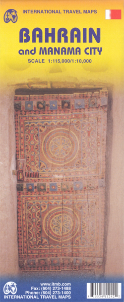
Bahrain road map at 1:115,000 plus an indexed street plan of Manama City at 1:10,000 from ITMB indicating both developments in progress and future plans including the train line and the causeway linking Bahrain with Qatar. All place names are shown in Latin alphabet only.The map is divided in two large panels. Bahrain is presented at 1:115,000 with the island’s road network including dirt tracks, proposed Gulf States Railway Line, airports, oil rigs and pipelines, as well as places of interest such as the Grand Prix circuit, Bahrain Fort World Heritage site, etc. Topography is shown by altitude colouring with spot heights and graphics for salt flats. Latitude and longitude lines are shown at 5’ intervals. The map is not indexed. Hawar Islands are included as an inset. The larger panel covers Manama with Muharraq at 1:10,000 with its index listing both street names and quadrants. The plan indicates main traffic routes and highlights various services, facilities and places of interest, including tourist accommodation, shopping centres, museums and mosques, etc. An inset extends coverage beyond the Lulu Island (Reef Island) development to include the Seef District.

Related Products:
 Qatar and Doha City ITMB
 Taiwan & Taipei ITMB
 Singapore & Malay Peninsula ITMB
 Ho Chi Minh City / Saigon & Vietnam South ITMB
 Kuwait & Kuwait City ITMB
 Middle East ITMB Travel Atlas
 Kyoto & Japan West ITMB
 Bhutan & Northeast India ITMB
 Tokyo & Central Japan ITMB
 Munich & Bavaria ITMB
 Zurich & Switzerland NW ITMB
 Mumbai / Bombay – India West Coast ITMB
 Georgia & Armenia ITMB
 Guyana, Suriname & French Guiana ITMB
 Osaka & Western Japan ITMB
 Hong Kong & Region ITMB
 Tehran & Northern Iran ITMB
 Algeria ITMB
 Warsaw & Poland East ITMB
 Japan North & Hokkaido ITMB
 Iran & Tehran ITMB
 Moscow ITMB
 Los Angeles & Southern California ITMB
 Chile South & Patagonia ITMB
 Mongolia ITMB
 Shanghai & China South East ITMB
 India North East & Kolkata / Calcutta ITMB
 Cayman Islands & Jamaica ITMB
 Seattle & Northwest USA ITMB
 Turkey ITMB
 Chile ITMB
 Kazakhstan & Uzbekistan ITMB
 Saudi Arabia & Kuwait ITMB
 Japan South ITMB Railway & Road Map
 Chicago & Lake Michigan ITMB
 Pakistan ITMB
 Easter Island & Santiago ITMB
 South East Asia ITMB
 Auckland & North Island ITMB