Disclosure : This site contains affiliate links to products. We may receive a commission for purchases made through these links.
B2 Barbados
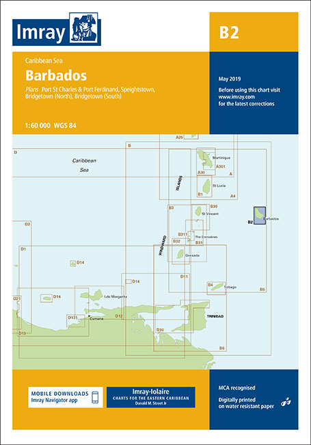
Caribbean SeaPlans included:Port St Charles & Port Ferdinand (sketch plan)Speightstown (1:15 000)Bridgetown (North) (1:20 000)Bridgetown (South) (1:20 000)On this 2018 edition port development at Bridgetown is included. The plan of Port St Charles has been reschemed to include Port Ferdinand. The chart specification has been improved to show coloured light flashes. There has been general updating throughout.
Related Products:
 G2 Aegean Sea (North)
 B32 Carriacou to Grenada
 C36 Ile d`Ouessant to Raz de Sein
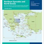 G25 Evvoia and the Northern Sporades
 A30 Martinique
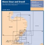 Y12 Rivers Stour and Orwell
 C67 North Minch & Isle of Lewis
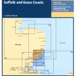 Y6 Suffolk and Essex Coasts
 M18 Capo d`Anzio to Capo Palinuro
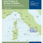 M46 Isole Pontine to the Bay of Naples
 C26 Ijmuiden to die Elbe
 Imray Chart M24: Golfo di Trieste to Losinj and Rab
 Imray Chart C2: The River Thames
 C31 Dover Strait to Le Havre
 E3 Arquipelago de Madeira
 C19 A Coruna to Gibraltar
 E4 Arquipelago de Cabo Verde
 M10 Western Mediterranean – Gibraltar to the Ionian Sea
 B5 Martinique to Grenada, Tobago and Barbados Passage Chart
 SHOM Chart 7615 – Barbados
 SHOM Chart 7628 – Ports et mouillages de Barbados
 SHOM Chart 7629 – De Saint Lucia ร Grenada et Barbados
 2500 The Channel Islands and adjacent coast of France Chart Atlas – 2017 edition
 Admiralty Chart 2485 – Approaches to Barbados
 Admiralty Chart 502 – Harbours and Anchorages in Barbados
 Barbados Footprint Handbook
 SHOM Chart 7629L – De Saint Lucia ร Grenada et Barbados – Leisure A4 size
 Barbados 4
 Admiralty Chart 799 – Saint Vincent, Kingstown Harbour and Approaches.
 Admiralty Chart AUS195 – Approaches to Port Kembla
 Admiralty Chart 3983 – Brazil – South Coast Tramandai to Barra do Rio Grande
 Admiralty Chart 3982 – Brazil – South Coast Ilha do Arvoredo to Tramandai
 2400 West Country Chart Pack – 2019 edition
 Admiralty Chart PNG515 – Woodlard Island to Trobriand Island
 Caribbean NGS Classic Wall Map PAPER
 Caribbean Cruise Ports Marco Polo Pocket Guide – with pull out maps
 Admiralty Chart 4908 – Port Hueneme and Approaches
 Reg 12.3 Windward Islands
 SEMAR Chart 4 – Gulf of Mexico and Caribbean Sea
 Tunis
Tunis


