Disclosure : This site contains affiliate links to products. We may receive a commission for purchases made through these links.
Australian Colonies and New Zealand c.1874 SMALL
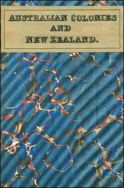
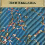
Small size version of a cloth-backed reproduction by Old Folding Maps of a map showing Britain’s possession down-under around 1854, published in Edinburgh by Gall & Inglis. Divided into five separate, different size panels, the map shows the whole of New Zealand, plus the already colonized regions of Australia: parts of New South Wales, Australia Felix (part of Victoria) with the adjoining region of South Australia, the south-western part of Western Australia, plus Tasmania ‘“ still called Van Diemen’s Land.In New Zealand it’s interesting to note that names of Irish provinces are used for the three islands: North Island is still called New Ulster, South Island is referred to as Middle Island or New Munster, and Stewart Island is South Island or New Leinster. On each panel colouring shows the division into administrative units, hachures are used to present the topography with plenty of names of geographical features, and latitude and longitude lines are drawn. This reproduction was taken from what used to be called a ‘cloth-dissected” map, made when the map itself was cut into sections and each section then individually pasted onto an overall cloth backing for the whole map. In this version the whole map is backed onto cloth in one piece but the gaps between the sections have been reproduced in the printing to preserve the style and the feeling of the original. Each individual map is sold folded in a colourful case covered with a unique design marbled paper ‘“ no two cases are identical.PLEASE NOTE: this title is also available in a larger size. To see the list of all the titles in this series from the Old Folding Maps please click on the series link.


