Disclosure : This site contains affiliate links to products. We may receive a commission for purchases made through these links.
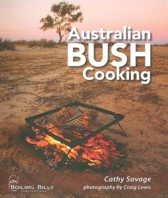
Australian Bush Cooking

Related Products:
 Shepherds Bush and White City
 Nature Unpacked: The traveller`s ultimate bush guide to Southern Africa
 Australian Bed & Breakfast Book 2008
 Australian Wildlife Bradt Guide
 Lonely Planet Australian Language and Culture
 Beat about the Bush
 Bush in Babylon
 The Mulberry Bush
 Hammersmith & Shepherds Bush Past
 Admiralty Chart AUS341 – Head of Great Australian Bight to Streaky Bay
 Holland Park & Shepherds Bush 1871 – 73.1
 Holland Park & Shepherds Bush 1894 – 73.2
 Why do Shepherds Need a Bush? History of Station Names
 A Plague of Caterpillars: A Return to the African Bush
 Another Great Day at Sea: Life Aboard the USS George H. W. Bush
 Australian-English/English-Australian
 The Australian Ugliness
 Australian Bird Guide
 Australian History For Dummies
 Expedition Diaries: Australian Outback
 The Boy Behind the Curtain: Notes From an Australian Life
 Australian Colonies and New Zealand c.1874 SMALL
Australian Colonies and New Zealand c.1874 MEDIUM
Australian Colonies and New Zealand c.1874 SMALL
Australian Colonies and New Zealand c.1874 MEDIUM
 The Climb: Conversations with Australian Women in Power
 The Complete Book of Australian Flying Doctor Stories
 A Photographic Field Guide to the Birds of the Australian High Country
 The Last Great Australian Adventurer: Ben Carlin`s Epic Journey Around the World by Amphibious Jeep
 The Jesus Man: A Dark and Violent Novel from the Author of the Slap, About the Effect of Pornography on an Australian Family
 Belgium – The Food And Cooking Of …
 Classic Caribbean Cooking
 Admiralty Chart Folio 64 – Southwest Coast of Australia – Cape Cuvier to Great Australian Bight
Admiralty Chart Folio 65 – Southeast Coast of Australia – Tasmania from Great Australian Bight to Sydney
Admiralty Chart Folio 64 – Southwest Coast of Australia – Cape Cuvier to Great Australian Bight
Admiralty Chart Folio 65 – Southeast Coast of Australia – Tasmania from Great Australian Bight to Sydney
 The Antarctic Book of Cooking and Cleaning: A Polar Journey
 Halliday Wine Companion 2019: The bestselling and definitive guide to Australian wine
 Halliday Wine Companion 2022: The Bestselling and Definitive Guide to Australian Wine
 Glovebox Guide to Wine Touring – 48 Australian Wine Regions
 Wildlife of the Australian Rainforests: A State-By-State Guide
 Home Cooking
 Lateral Cooking
 Outdoor Cooking