Disclosure : This site contains affiliate links to products. We may receive a commission for purchases made through these links.
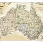
Australia NGS Classic Wall Map PAPER
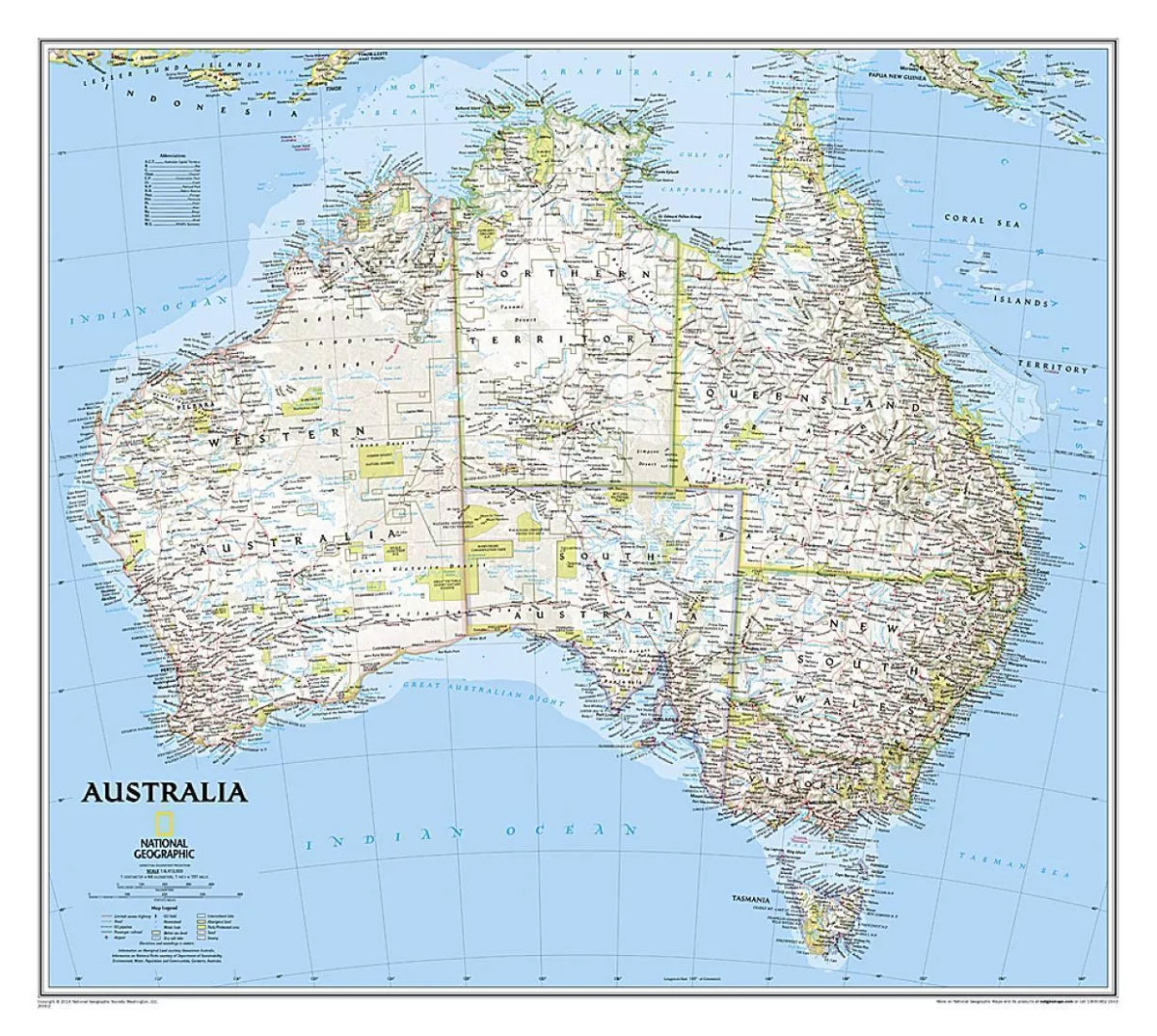
Australia on a wall map at 1:6,413,000, size: 77 x 60cm (30″ x 24″ approx) ‘“ paper version, presenting the country in the National Geographic Society’s classic style: light base with relief shading and state boundaries in contrasting colours.The base map has relief shading to show the topography of the country, with further graphics to indicate deserts, swamps, salt flats, etc, and gives plenty of names of mountain ranges, deserts, rivers and lakes, coastal bays and other geographical features. The map also highlights a selection of Australia’s numerous national parks or other protected areas and indicates boundaries of Aboriginal Lands. In addition to main road and rail connections main local airports are marked. Latitude and longitude lines are drawn at 4ยฐ intervals* This map is also available encapsulated.NGS use white as the base colour for all their country maps. On this 76x60cm map each state boundary is then picked out in a different colour. This style results in a clear, easy-to-read and professional-looking map. Relief shading is used to show the mountainous areas and deserts. Towns and cities, major roads, railways and national parks are also clearly shown. Lines of latitude and longitude are marked.


