Disclosure : This site contains affiliate links to products. We may receive a commission for purchases made through these links.
Auckland & North Island ITMB
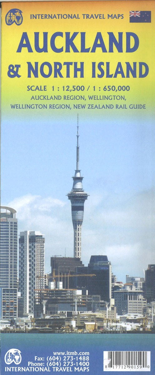
Double-sided map combining indexed street plan of Auckland with its inner suburbs, a plan of central Wellington and a road map of New Zealand’s North Island, plus a street plan of central Christchurch thrown in as a bonus!All three street plans are at 1:12,500 and show commuter rail lines with stations, ferry lines, plus in Wellington cable-car and electric trolley bus routes. Places of interest, public buildings and various facilities are marked, as well as numerous hotels, etc. Auckland and Wellington also have small insets showing the environs.On the reverse is an indexed map of the North Island and the northern tip of the South Island at 1:950,000 with altitude colouring. The map shows road and rail networks and indicates national parks and other protected areas. Symbols mark campsites and caravan sites, beaches and surfing areas, hot springs, and various places of interest. Latitude and longitude lines are drawn at 1ยบ intervals. Also included are small insets with New Zealand’s offshore islands: Antipodes, Auckland, Bounty, Campbell and Chatham.

Related Products:
 North Island – New Zealand Hema
New Zealand ITMB
North Island – New Zealand Hema
New Zealand ITMB
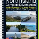 North Island – New Zealand Kiwimaps Complete Drivers Atlas
 Singapore & Malay Peninsula ITMB
 Japan North & Hokkaido ITMB
 North Island with 4 Town Centre Kiwimaps
 India North East & Kolkata / Calcutta ITMB
 North Island – Northern & Central Kiwimaps
 Osaka & Western Japan ITMB
 New Zealand F&B
 Buenos Aires & Argentina North East ITMB
 Paris & France North ITMB
 Santiago & Chile North ITMB
 Argentina North & Uruguay ITMB
North Island – New Zealand ITMB
Argentina North & Uruguay ITMB
North Island – New Zealand ITMB
 Tokyo & Central Japan ITMB
 Easter Island & Santiago ITMB
 North Island – Eastern & Southern Kiwimaps
 Hanoi – Vietnam North ITMB
 Vancouver Island ITMB
 Kyoto & Japan West ITMB
 Sao Paulo & Brazil South Coast ITMB
 Bangladesh & India East ITMB
 Helsinki & Southern Finland ITMB
 Lima & Central Peru ITMB
 Philadelphia & Mid-Atlantic States ITMB
 Zurich & Switzerland NW ITMB
 New Zealand Nelles
 India ITMB
 Nova Scotia & Prince Edward Island ITMB
Brazil ITMB
Nova Scotia & Prince Edward Island ITMB
Brazil ITMB
 New Zealand – North Island Reise Know-How
 Oslo / Bergen & South of Norway ITMB
 India South & North East ITMB
Auckland Kiwimaps City & District Pathfinder Map
India South & North East ITMB
Auckland Kiwimaps City & District Pathfinder Map
 Brazil HARDCOVER ITMB
Sydney & Australia East ITMB
Brazil HARDCOVER ITMB
Sydney & Australia East ITMB
 China West ITMB
 Southern Vietnam – Mekong Delta ITMB