Disclosure : This site contains affiliate links to products. We may receive a commission for purchases made through these links.
Atlas of Unusual Borders
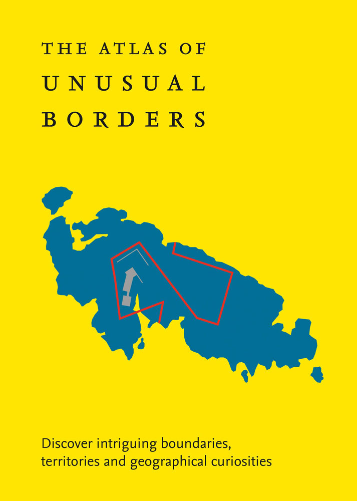
Shortlisted for the 2020 Edward Stanford Travel Writing Award`s Dorling Kindersley Illustrated Travel Book of the YearThe world is not always what we think it is. This beautifully designed book presents unusual borders, enclaves and exclaves, divided or non-existent cities and islands. Numerous conflicts have left countries divided and often shattered. Remnants of countries can by design or accident be left behind as a legal anomaly in this complex world.Most people believe that a country’s borders are clearly defined: just lines that separate countries. Everything on one side of the line belongs to one country and everything on the other side belongs to another country. This might be the case most of the time, but there are unusual exceptions to this unwritten rule.Examples include:- Campione d’Italia where Italian residents have to travel 15km through Switzerland to reach the nearest available Italian territory- Tomb of Suleyman Shah which is a tiny Turkish enclave within Syria which was moved closer to Turkey when Lake Assad was created but still stayed in Syria- Pheasant Island which for half a year belongs to the Spanish city of Irun, and the remaining half, to its French twin-town, Hendaye- Canadian Stanstead and American Beebe Plain where the boundary line runs along the centre of the main street, so that the houses on one side of the street are in Canada and on the other in the United StatesThese and many more instances are captured in this fascinating book full of strange geographical intrigue.


