Disclosure : This site contains affiliate links to products. We may receive a commission for purchases made through these links.
Ashford (Middx) 1935 – 24.04
Ashford (Middlesex) in 1935 in a fascinating series of reproductions of old Ordnance Survey plans in the Alan Godfrey Editions, ideal for anyone interested in the history of their neighbourhood or family. The map covers the central and southern part of Ashford, stretching from Coleridge Road and Chattern Hill southward to the Queen Mary Reservoir. Features include St Matthew`s church, Ecclesfield Convent, Old Ford Farm, golf course, many orchards etc. A commercial directory of Ashford is included on the reverse.About the Alan Godfrey Editions of the 25″ OS Series:Selected towns in Great Britain and Ireland are covered by maps showing the extent of urban development in the last decades of the 19th and early 20th century. The plans have been taken from the Ordnance Survey mapping and reprinted at about 15 inches to one mile (1:4,340). On the reverse most maps have historical notes and many also include extracts from contemporary directories. Most maps cover about one mile (1.6kms) north/south, one and a half miles (2.4kms) across; adjoining sheets can be combined to provide wider coverage.FOR MORE INFORMATION AND A COMPLETE LIST OF ALL AVAILABLE TITLES PLEASE CLICK ON THE SERIES LINK.

Related Products:
 Ashford (North) 1934 – 19.16
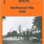 Northwood Hills 1935
 Harefield 1935
 Northolt 1935
 West Drayton South 1935
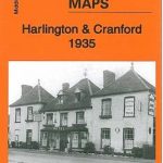 Harlington and Cranford 1935
Tannochside & North Uddingston 1935 – 11.03
Harlington and Cranford 1935
Tannochside & North Uddingston 1935 – 11.03
 Edgware 1935
 New Brighton 1935
 Wealdstone and Hatch End 1935
 South Harrow and Northolt Park 1935
 Great Britain: Godfrey Editions of Historical Ordnance Survey “A Yard to the Mile” City Plans
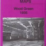 Wood Green 1935 – 7.4
 Southall Green 1935
Bellshill 1935 – 11.08
Southall Green 1935
Bellshill 1935 – 11.08
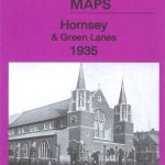 Hornsey & Green Lanes 1935 – 12.4
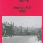 Muswell Hill 1935 – 11.4
 Alexandra Park and South Friern 1935
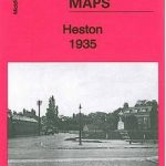 Heston 1935
Brentford 1935 – 83.4
Dun Laoghaire 1908
New Quay 1904
Heston 1935
Brentford 1935 – 83.4
Dun Laoghaire 1908
New Quay 1904
 South Acton & Gunnersbury Park 1935 – 71.4
Piccadilly 1869
South Acton & Gunnersbury Park 1935 – 71.4
Piccadilly 1869
 Hull Old Town 1853
 Ancoats 1849 – 30
 Reeth and Grinton 1910
Aberaeron 1904
Manchester Piccadilly 1849 – 29
Reeth and Grinton 1910
Aberaeron 1904
Manchester Piccadilly 1849 – 29
 Manchester New Cross 1849
Manchester: Castlefield 1848
Manchester New Cross 1849
Manchester: Castlefield 1848
 Manchester: Hulme 1844
 Liverpool Vauxhall 1864
Liverpool Wapping 1864
Old St Pancras 1871-1894
Honiton 1903
Liverpool Vauxhall 1864
Liverpool Wapping 1864
Old St Pancras 1871-1894
Honiton 1903
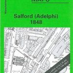 Salford Adelphi 1848
 St Paul`s and Newgate 1873
 Liverpool Shaw Street 1848
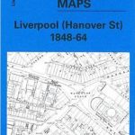 Liverpool Hanover Street 1864