Disclosure : This site contains affiliate links to products. We may receive a commission for purchases made through these links.
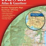
Arkansas Recreational Atlas & Gazetteer
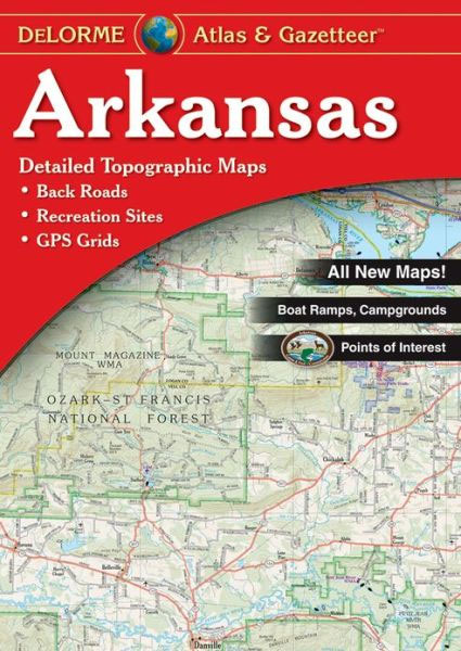
Arkansas Recreational Atlas & Gazetteer at 1:125,000 approx. from DeLorme in a new edition published in 2011, with GPS compatible mapping and extensive additional recreational information including facilities at campgrounds, etc.Each title in this DeLorme series covers one state and presents it at a scale much more detailed than used on most state road maps. Particularly popular areas are often also presented on enlargements. The maps are contoured, show variation of terrain (deserts, glaciers, wetlands, woodlands, etc) and have latitude and longitude and/or UTM grid lines for GPS use. Various types of protected areas are distinguished by the colouring of their boundaries, e.g. national or state parks, forests, etc. Also marked are Indian Reservations and restricted entry military zones. Road network is shown in much more detail than on other state mapping, with local roads, unsurfaced back roads and tracks, forest trails, etc. Where appropriate, old historical routes are marked. Railway lines and local airports or landing strips are included and the maps also indicate administrative boundaries. Symbols highlight various recreational areas and facilities such as campgrounds, unique natural features, etc. Each title contains extensive lists of outdoor adventure sites (grouped into activities such as hiking, biking, paddling, fishing, skiing, etc.), diverse family outing sites, campgrounds, and tables showing what facilities can be found in the state’s recreational areas. Each atlas also has an index of localities.To see the list of titles in this series please click on the series link.

Related Products:
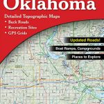 Oklahoma Recreational Atlas & Gazetteer
 Washington State Recreational Atlas & Gazetteer
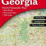 Georgia Recreational Atlas & Gazetteer
 Nebraska Recreational Atlas & Gazetteer
 Kentucky Recreational Atlas & Gazetteer
 Alabama Recreational Atlas & Gazetteer
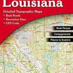 Louisiana Recreational Atlas & Gazetteer
 Utah Recreational Atlas & Gazetteer
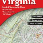 Virginia Recreational Atlas & Gazetteer
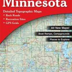 Minnesota Recreational Atlas & Gazetteer
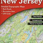 New Jersey Recreational Atlas & Gazetteer
 Illinois Recreational Atlas & Gazetteer
 Hawaii Recreational Atlas & Gazetteer
 Pennsylvania DeLorme Atlas & Gazetteer
 North Dakota DeLorme Atlas & Gazetteer
 Indiana Rescreational Atlas & Gazetteer
 Maryland & Delaware Recreationa Atlas & Gazetteer
 Oregon Benchmark Recreational Map
 Idaho Benchmark Recreational Map
 Arkansas Easy-to-Read Rand McNally
 Arkansas Easy to Fold Rand McNally
 Washington State Benchmark Recreation Map
 Utah Benchmark Recreation Map
 Australia UBD Gregory`s Concise Motoring Atlas
 Australia UBD Gregory`s Touring Atlas A3
 Arkansas Raven Maps Physical Wall Map PAPER
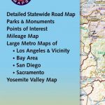 California Benchmark Road Map
 North Island – New Zealand Kiwimaps Complete Drivers Atlas
 Pittsburgh Regional PA Rand McNally
 Portland Regional Rand McNally
 South Island – New Zealand Kiwimaps Complete Drivers Atlas
 Nevada Easy-to-Read Rand McNally
 New York State Easy-to-Read Rand McNally
 Minnesota Easy-to-Read Rand McNally
 Yosemite National Park Area
 New Hampshire – Vermont Easy-to-Read Rand McNally
 Michigan Easy-to-Read Rand McNally
 Nebraska Easy-to-Read Rand McNally
 Oregon Easy-to-Read Rand McNally
 Alaska Easy-to-Read Rand McNally