Disclosure : This site contains affiliate links to products. We may receive a commission for purchases made through these links.
Arberregion – Kaitersberg – Grosser Osser Alpenverein KOMBI BY23


Related Products:
 Mangfallgebirge East – Wendelstein – Grosser Traithen Alpenverein KOMBI BY16
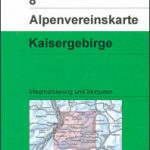 Kaisergebirge Alpenverein KOMBI Map 8
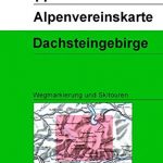 Dachsteingruppe Alpenverein KOMBI Map 14
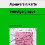 Venedigergruppe Alpenverein KOMBI Map 36
 Granatspitzgruppe Alpenverein KOMBI Map 39
 Sonnblick Alpenverein KOMBI Map 42
 Hochschwabgruppe Alpenverein KOMBI Map 18
 Glocknergruppe Alpenverein KOMBI Map 40
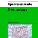 Silvretta Alpenverein KOMBI Map 26
 Schobergruppe Alpenverein KOMBI Map 41
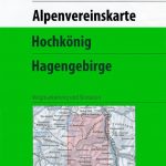 Hochkรถnig – Hagengebirge Alpenverein KOMBI Map 10/2
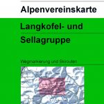 Langkofel – Sellagruppe Alpenverein KOMBI Map 52/1
Steinernes Meer Alpenverein KOMBI Map 10/1
Wettersteingebirge – Zugspitze Alpenverein KOMBI BY8
Langkofel – Sellagruppe Alpenverein KOMBI Map 52/1
Steinernes Meer Alpenverein KOMBI Map 10/1
Wettersteingebirge – Zugspitze Alpenverein KOMBI BY8
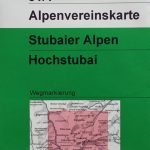 Stubai Alps – Hochstubai Alpenverein KOMBI Map 31/1
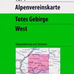 Totes Gebirge West Alpenverein KOMBI Map 15/1
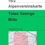 Totes Gebirge Central Alpenverein KOMBI Map 15/2
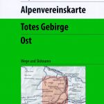 Totes Gebirge East Alpenverein KOMBI Map 15/3
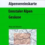 Ennstal Alps – Gesause Alpenverein KOMBI Map 16
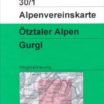 Otztal Alps – Gurgl Alpenverein KOMBI Map 30/1
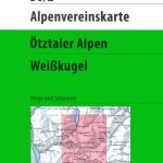 Otztal Alps – Weisskugel Alpenverein KOMBI Map 30/2
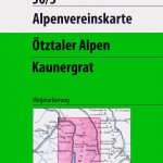 Otztal Alps – Kaunergrat Alpenverein KOMBI Map 30/3
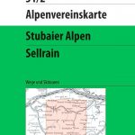 Stubai Alps – Sellrain Alpenverein KOMBI Map 31/2
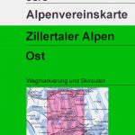 Zillertal Alps East Alpenverein KOMBI Map 35/3
 Berchtesgaden – Untersberg Alpenverein KOMBI BY22
 Lattengebirge – Reiteralm Alpenverein KOMBI BY20
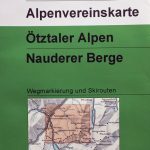 Otztal Alps – Nauderer Berge Alpenverein KOMBI Map 30/4
Lechtal Alps – Heiterwand and Muttekopfgebiet Alpenverein KOMBI Map 3/4
Berchtesgaden National Park – Watzmann Alpenverein KOMBI BY21
Chiemgau Alps East – Sonntagshorn Alpenverein KOMBI BY19
Carnic Alps – Main Crest West Alpenverein KOMBI Map 57/1
Otztal Alps – Nauderer Berge Alpenverein KOMBI Map 30/4
Lechtal Alps – Heiterwand and Muttekopfgebiet Alpenverein KOMBI Map 3/4
Berchtesgaden National Park – Watzmann Alpenverein KOMBI BY21
Chiemgau Alps East – Sonntagshorn Alpenverein KOMBI BY19
Carnic Alps – Main Crest West Alpenverein KOMBI Map 57/1
 Allgรคu Prealps West – Nagelfluhkette – Hรถrnergruppe Alpenverein KOMBI BY1
Chiemgau Alps Central – Hochgern – Hochfelln Alpenverein KOMBI BY18
Allgรคu Prealps West – Nagelfluhkette – Hรถrnergruppe Alpenverein KOMBI BY1
Chiemgau Alps Central – Hochgern – Hochfelln Alpenverein KOMBI BY18
 Taunus East – Grosser Feldberg – Kรถnigstein – Bad Homberg K+F Outdoor Map 33
 Brennerberge Alpenverein Map 31/3
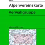 Verwallgruppe Alpenverein Map 28
 Tennengebirge Alpenverein Map 13
 Koh-e Pamir Alpenverein 0/6
 Koh-e Keshnikhan Alpenverein 0/5
 Hunza – Karakoram Alpenverein 0/12